What is recorded here
Half a metre of earth and stone still marks the Drummeel ringfort, a shallow D-shaped basin where cattle now graze. The western boundary has vanished into a modern drain, yet the eastern bank and faint outer ditch survive to outline a space large enough for a household but small enough to overlook. People may have lived there before ploughs and pipes erased the edges, leaving only a low ridge for the curious to trace.
On a low rise in pasture. A raised D-shaped area (29.5m E-W; 28.5m N-S), with a straight NW side, enclosed from N-S-W by a partially denuded, low bank of earth and stone (Wth 3.3-3.6m; H 0.3-0.5m). A shallow external fosse (Wth 3.5m; D 0.5-1m) is identifiable only from NNE-NE-ENE. From W-NW-N the enclosing elements have been replaced by a modern field bank and drain. A report in 1975 (SMR file) suggested that the original entrance may have been at NE.
Compiled by: Patrick F. O'Donovan
Date of upload: 26 August 2011
The monument record does not grant public access. Check the route and ask the landowner before entering private land.
- What survives
- Recorded monument
Places near here
 IndicatedFairy fort / earthen ringfort · 374 yd
 Frys IslandCrannog · 1460 yd
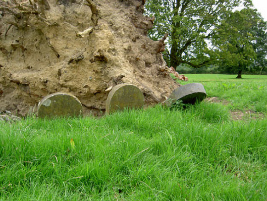 Currygrane Housepet cemetery · 1563 yd
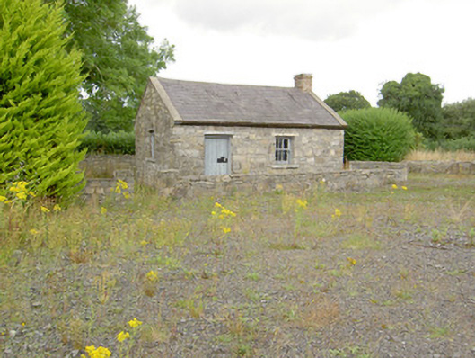 MacEoin's Forgeforge/smithy · 1667 yd
 Ballinalee Forest WalkForest · 1.0 mi
 Bully's Acregraveyard/cemetery, unknown · 1.4 mi
 Bawn in CurrycahillBawn · 1.5 mi
 Cloonfin WoodForest · 1.9 mi
 Clonfin Ambush MemorialMemorial · 2.0 mi
 Moat & CastleCastle, motte and bailey · 2.4 mi
 Edgeworthstown BypassMemorial · 4.9 mi
 InchmoreIslet · 5.0 mi