What is recorded here
No visible mound remains, but the ground still holds the shape of a chamber: a shallow circular depression, a faint raised ring around it, and a shadow line where a wall or roof edge may have stood. That much is visible. The rest is loss: timber rotted, plaster scattered, or the room was never built for pride. A person may have stood inside, measured the dark, and left it empty on purpose.
Raised circular area (int. diam. c. 30m) enclosed by a substantial earthen bank and a wide, deep fosse. Fosse is slight at E where a modern farm building has encroached on its outer lip. Break in bank at NE with accompanying causeway represents original entrance.
The above description is derived from the published 'Archaeological Inventory of County Cavan' (Dublin: Stationery Office, 1995). In certain instances the entries have been revised and updated in the light of recent research.
Date of upload/revision: 22 December 2008
The monument record does not grant public access. Check the route and ask the landowner before entering private land.
- What survives
- Recorded monument
Places near here
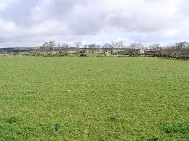 Enclosure in CarrickmoreEnclosure · 667 yd
 Annaghduff Wet WoodlandForest · 1090 yd
 Standing StoneArchaeological place · 1137 yd
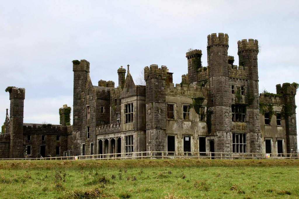 CastleCastle, unclassified · 1265 yd
 Agroforestry plotForest · 1539 yd
 Ballyhaise Ho.Castle, unclassified · 1.0 mi
 Ballyhaise Bridgebridge · 1.0 mi
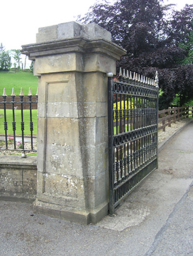 Ballyhaise Agricultural Collegedemesne walls/gates/railings · 1.1 mi
 Garden IsleIslet · 1.1 mi
 ArdamaghMountain / peak · 1.4 mi
 CorgarveMountain / peak · 1.9 mi
 Giants GraveArchaeological place · 2.7 mi