What is recorded here
Fairy forts are human ringforts misnamed by later folklore, but Druminshin still turns that mistake back on us: a broad grass circle at the south end of a drumlin ridge, its earthen bank worn into scars and hedges while an outer ditch survives in shallow traces. The west bank rises higher than the north, the entrance may fold through the lowest ground at the northwest, and field banks still bend around it as if avoiding a living boundary. People built or used this place before fairy labels existed; the label arrived later to keep the unknown at a distance.
Located towards the S end of a N-S drumlin ridge. This is a raised circular and grass-covered area (diam. 28m E-W; 26m N-S) defined by slight traces of an earthen bank (at S: Wth of base 9.5m; int. H 0.2m; ext. H 2.6m) that is largely reduced to a scarp (at N: Wth 1.5m; H 1.2m; at W: Wth 5.8m; H 3.4m) and hedge, but the growth is absent NW-N. There are traces of an outer fosse (at N: Wth of top 7m; Wth of base 5m; ext. D 0.2m) NW-E-S. The entrance could be at NW where the perimeter is lowest and it has a slight fold (Wth of base 3.5m). There is an E-W field bank 5m distant at S and a N-S field bank at W kinks slightly to the W to avoid the monument.
The above description is derived from the published 'Archaeological Inventory of County Meath' (Dublin: Stationery Office, 1987). In certain instances the entries have been revised and updated in the light of recent research.
Revised by: Michael Moore
Date of revision: 26 October 2018
The monument record does not grant public access. Check the route and ask the landowner before entering private land.
- What survives
- Recorded monument
Places near here
 Hillfort in Kilriffin,sallybrookHillfort · 651 yd
 Drumran HillMountain / peak · 678 yd
 MoatCastle, motte and bailey · 1120 yd
 Loughbrackan FortCastle, motte and bailey · 1173 yd
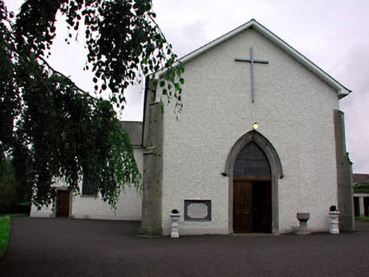 Catholic Church of Saint Peter and Saint Paulchurch/chapel · 1667 yd
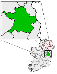 Font (present location) in RathtrasnaFont (present location) · 1681 yd
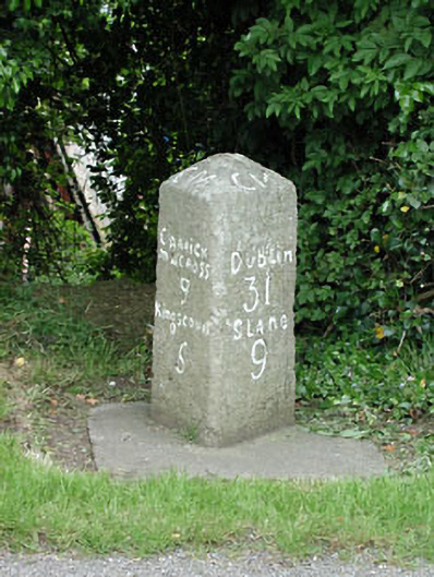 milestone/milepostmilestone/milepost · 1682 yd
 Matthew's HillMountain / peak · 2.4 mi
 Nobber GreenwayMemorial · 3.4 mi
 Common LimeCommon Lime · 4.0 mi
 Headstown ForestForest · 4.1 mi
 Graveyard in Richardstown (ardee By., Richardstown Par.)Graveyard · 9.0 mi