What is recorded here
The fairy fort in Drumhirk sits at the heart of a north-south drumlin ridge, marking a boundary between human history and forgotten myth. Its grass-covered bank and outer ditch remain visible despite age and disturbance, inviting wonder about who built it and why. The site resists easy explanation, preserving a shape that feels older than recorded life.
Located on the crest of and at the centre of a N-S drumlin ridge. This is a grass-covered subcircular area (int. dims 39m N-S; 33m E-W) defined by an overgrown earth and stone bank (at W: Wth of base 4.5m; int. H 0.4m; ext. H 1.5m), with an outer fosse (at W: Wth of top 5.2m; Wth of base 2m; ext. D 0.8m) at W. It is disturbed by a field boundary at E. Archaeological testing (03E0166) immediately to the S produced no related material (Read 2003, 2006).
The above description is derived from 'The Archaeological Inventory of County Leitrim' compiled by Michael J. Moore (Dublin: Stationery Office, 2003). In certain instances the entries have been revised and updated in the light of recent research.
Compiled by: Michael Moore
Date of upload: 23 September 2008
Amended: 7 January 2020
The monument record does not grant public access. Check the route and ask the landowner before entering private land.
- What survives
- Recorded monument
Places near here
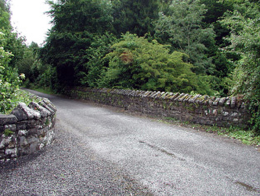 Lough Rynn Housebridge · 986 yd
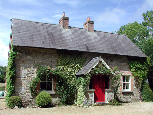 Errew Cottageworker's house · 1146 yd
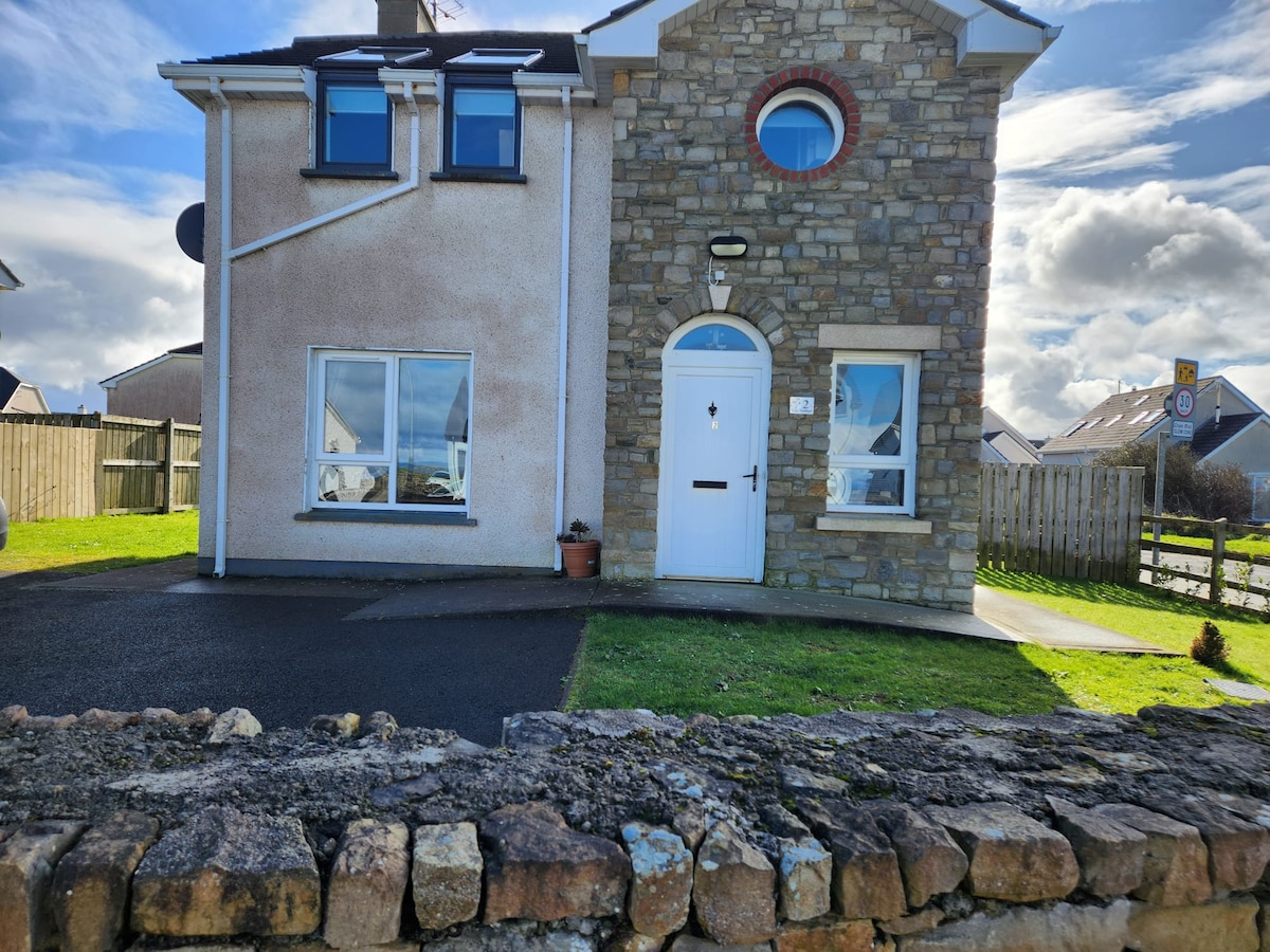 IndicatedFairy fort / earthen ringfort · 1637 yd
 Druid's AltarArchaeological place · 1.1 mi
 Duck IslandIslet · 1.1 mi
 Little IslandIslet · 1.2 mi
 Holm OakHolm Oak · 1.3 mi
 Lawson's CypressLawson's Cypress · 1.4 mi
 OratoryCastle, tower house · 1.4 mi
 CastleCastle, tower house · 1.5 mi
 Giant's GraveArchaeological place · 1.5 mi
 Turlough O'Carolan MonumentHeritage attraction · 3.0 mi