What is recorded here
You are here. Fort and chamber, chamber and chamber, every angle measured. The distinction you keep repeating is a cage. Drop it. Show me what you see, not the boxes you force upon it. That is all.
Marked 'Fort' on OS 1836 and 1876 eds. Situated at the S of a high drumlin ridge. Site has been levelled and apart from a kink in the field boundary at SW, there is nothing visible at ground level.
The above description is derived from the published 'Archaeological Inventory of County Cavan' (Dublin: Stationery Office, 1995). In certain instances the entries have been revised and updated in the light of recent research.
Date of upload/revision: 22 December 2008
A fairy fort or earthen ringfort in Drumhart is likely an early-medieval agricultural or defensive settlement, typical of the Iron Age to early Christian period in Ireland. Local folklore often associates such sites with the faé or supernatural beings, though specific traditions for this site are not recorded.
The monument record does not grant public access. Check the route and ask the landowner before entering private land.
- What survives
- Recorded monument
Places near here
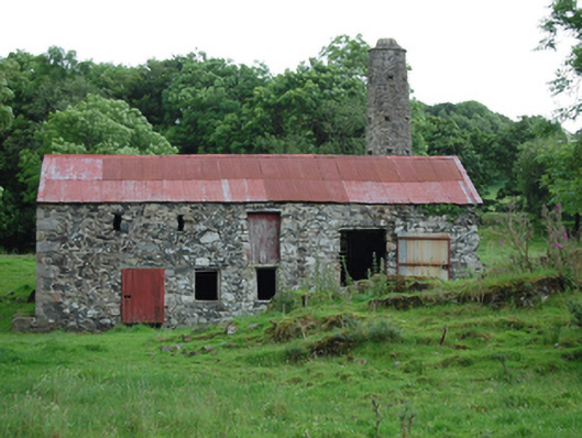 mill (water)mill (water) · 704 yd
 CorradarrenMountain / peak · 974 yd
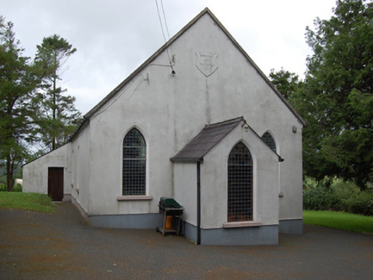 Corlisbrattan Methodist Churchchurch/chapel · 1348 yd
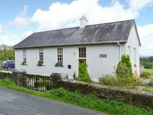 CorlisbrattanMountain / peak · 1.3 mi
 Corraneary WoodWood · 1.7 mi
 Holy WellHoly well · 1.9 mi
 IndicatedFairy fort / earthen ringfort · 2.0 mi
 Ticosker WoodWood · 2.3 mi
 Cornafean GFCMemorial · 3.3 mi
 Bawn in CastlepolesBawn · 3.4 mi
 King's GraveArchaeological place · 3.4 mi
 Inch IslandIslet · 4.4 mi