What is recorded here
That is the visible shape of a small hill farm, perhaps a family home or a seasonal camp, reduced to a shallow curve and a few scattered pits. The flat top still stands about forty-five metres across, large enough for a house, a byre and a garden, yet the earth has forgotten most of the walls. What remains is a thin arc of dug soil, a boulder-filled hole and handfuls of charcoal that mark repeated fires rather than a single dramatic event. The fort is not grand, but it is honest: a ordinary life lived on open ground, then buried under grass and time.
Situated on the flat top (diam. c. 45m) of a hill. Archaeological monitoring of topsoil stripping in connection with a gas pipe-line during 1991 identified a curving fosse (Wth 0.5-0.9m; D 0.2-0.9m) that was sampled (E000636) in three places but produced nothing apart from charcoal-flecked soil. A large pit (diam. 2.3m; D 0.9m) filled with boulders and charcoal-flecked soil produced some pig and sheep bones and a sherd of coarse pottery. A smaller pit (L 1. 7m; D 0.2m) produced three similar sherds, thought to be Man-made underground passage ware. A few other pits produced no artefacts apart from flecks of charcoal, but the features can be interpreted as the remains of a rath. (Walsh 1991, 1992)
Compiled by: Michael Moore
Date of upload: 17 August, 2016
The monument record does not grant public access. Check the route and ask the landowner before entering private land.
- What survives
- Recorded monument
Places near here
 Newstone Castle in RuinsCastle, tower house · 1348 yd
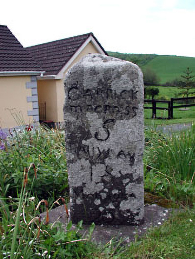 milestone/milepostmilestone/milepost · 1682 yd
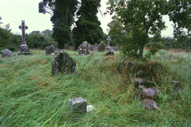 Grave YardGraveyard · 1.2 mi
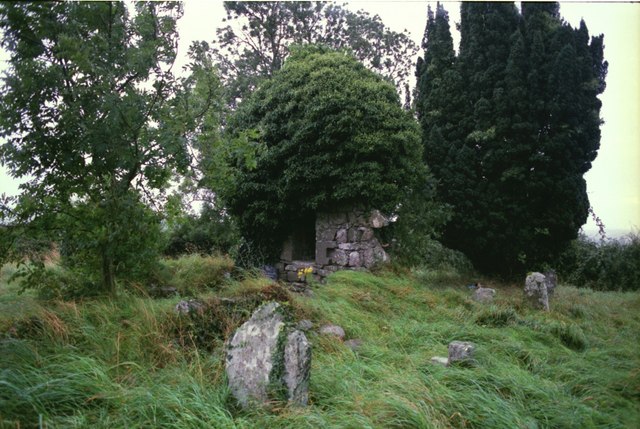 Drumbride Church in RuinsChurch · 1.2 mi
 Cloghmacoo FortFairy fort / earthen ringfort · 1.2 mi
 MoatCastle, motte · 1.2 mi
 Drumran HillMountain / peak · 1.4 mi
 Matthew's HillMountain / peak · 2.1 mi
 Tree IslandWood · 2.5 mi
 Nobber GreenwayMemorial · 3.9 mi
 Flat cemetery in AnnaheanFlat cemetery · 4.1 mi
 GNR Christmas TreesForest · 4.4 mi