What is recorded here
Drumgill Lower holds a broad grassy ring where human hands shaped the ridge centuries before modern memory. The swelling earth still marks a lived boundary, even though quarrying bit through the southwest and fields swallowed part of the outer bank. People may have stood inside that circle to keep out rain, rivals or fear, while the fairies took the remainder.
Located towards the SE end of a NW-SE ridge. This is a raised circular and grass-covered platform (diam. 28.5m N-S; 25m E-W; H 2.8-3.6m) that slopes down to the S (H 1.2m) separated by a fosse (at NNW: Wth of top 13.5m; Wth of base 2.5m; ext. D 3m) that survives W-N-S from an overgrown outer bank (at NNW: Wth of base 7.7m; ext. H 1.6m) that is only evident NNW-E and it is incorporated in a NE-SW field bank NW-NNW. There is a ramp entrance (Wth of base 2.5m) at SSE. The SW quadrant has been quarried in the past and the edge of the platform together with the fosse and outer bank are missing here.
The above description is derived from the published 'Archaeological Inventory of County Meath' (Dublin: Stationery Office, 1987). In certain instances the entries have been revised and updated in the light of recent research.
Compiled by: Michael Moore
Date of revision: 3 September 2018
Amended: 14 December 2022
The monument record does not grant public access. Check the route and ask the landowner before entering private land.
- What survives
- Recorded monument
Places near here
 Newstone Castle in RuinsCastle, tower house · 1336 yd
 MoatCastle, motte and bailey · 1685 yd
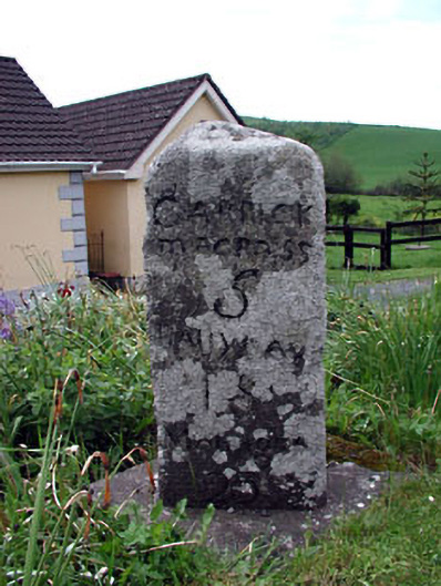 milestone/milepostmilestone/milepost · 1.0 mi
 Cloghmacoo FortFairy fort / earthen ringfort · 1.1 mi
 Drumran HillMountain / peak · 1.2 mi
 Hillfort in Kilriffin,sallybrookHillfort · 1.2 mi
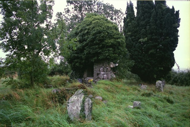 Drumbride Church in RuinsChurch · 1.2 mi
 Matthew's HillMountain / peak · 2.1 mi
 Tree IslandWood · 2.7 mi
 Nobber GreenwayMemorial · 3.8 mi
 Flat cemetery in AnnaheanFlat cemetery · 4.2 mi
 Common LimeCommon Lime · 4.4 mi