What is recorded here
No fairies built the fort at Drumgarly. Humans made the earth bank, closed the ring, and left it exposed on the drumlin.
Located at the summit of a drumlin. This is a subcircular grass-covered area (dims 27m NE-SW; 23m NE-SW) defined by an earthen bank (at ESE: Wth of base 3.3m; int. H 0.35m; ext. H 1.6m) NNW-E-SSE, but this is largely reduced to a scarp elsewhere. There is no visible fosse or identifiable original entrance. An overgrown NNE-SSW field bank overlies the interior towards the perimeter at W while a WNW-ESE field bank truncates the scarp SSE-WSW.
The above description is derived from the published 'Archaeological Inventory of County Monaghan' (Dublin: Stationery Office, 1986). In certain instances the entries have been revised and updated in the light of recent research.
Revised by: Michael Moore
Date of revision: 8 May 2018
The monument record does not grant public access. Check the route and ask the landowner before entering private land.
- What survives
- Recorded monument
Places near here
 Man-made underground passage in CorrameganMan-made underground passage · 602 yd
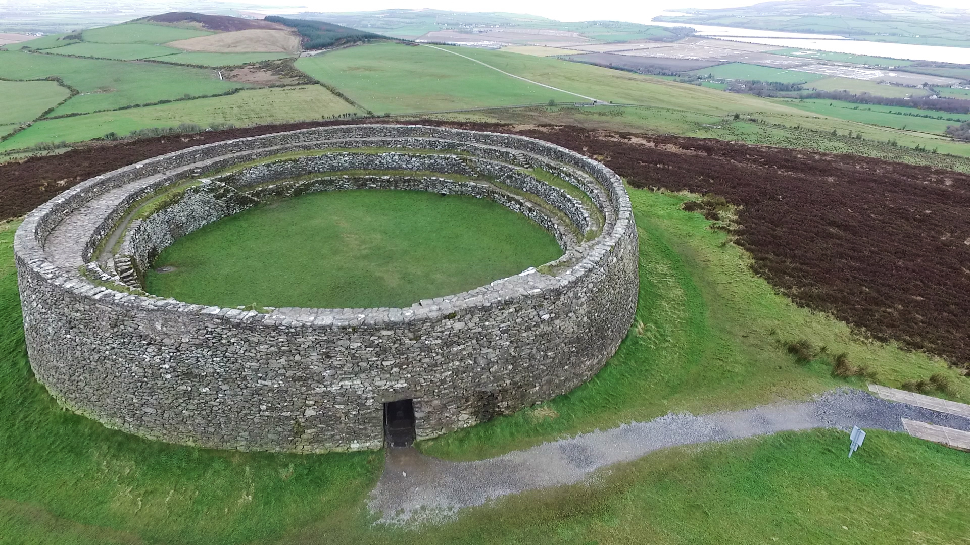 Annagose fortFairy fort / earthen ringfort · 616 yd
 Doupy Millsmill (water) · 1.3 mi
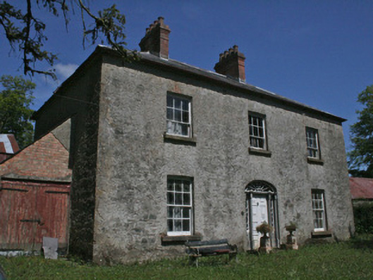 Drumbrean Cottagehouse · 1.3 mi
 Lisarrilly HillMountain / peak · 1.4 mi
 Roosky Castle (Site of)Castle, ringwork · 1.7 mi
 Tomb HillMountain / peak · 2.4 mi
 Common LimeCommon Lime · 3.4 mi
 KillycoonaghWood · 3.5 mi
 Jaundice WellSpring · 3.6 mi
 Saint John's WellSpring · 3.7 mi
 Dagda's CauldronHeritage attraction · 5.1 mi