What is recorded here
Fairy forts are not human, though they use human shapes. They borrow the roundness of forts because circles suit visibility and memory. They are not deception. They are comparison. The distinction is not human or fairy. The distinction is the function of the shape.
Located at the bottom of the E-facing slope of a drumlin with a canalised SSE-NNW stream immediately to the E. This is a raised and grass-covered circular platform (diam. 30.2m E-W; 28.4m N-S; H 1.5m) with some trees defined by the lip of a bank (int. H 0.1-0.2m), a fosse (Wth of top 5.7-7.6m; Wth of base 2-3m; ext. D 0.7-1m) and an outer earthen bank (Wth of base 3-4.6m; 3m W - N to 8m at S; ext. H 0.7-1m), with slight traces of a second outer fosse at N. A gap in the outer bank at NW may be recent, and the original entrance is not identified. The outer bank at S is incorporated into a NE-SW field bank.
The above description is derived from 'The Archaeological Inventory of County Leitrim' compiled by Michael J. Moore (Dublin: Stationery Office, 2003). In certain instances the entries have been revised and updated in the light of recent research.
Compiled by: Michael Moore
Date of upload: 23 September 2008
Amended: 9 December, 2019
The monument record does not grant public access. Check the route and ask the landowner before entering private land.
- What survives
- Recorded monument
Places near here
 IndicateedHoly well · 1676 yd
 Sessile OakSessile Oak · 1.3 mi
 Giant's GraveArchaeological place · 1.4 mi
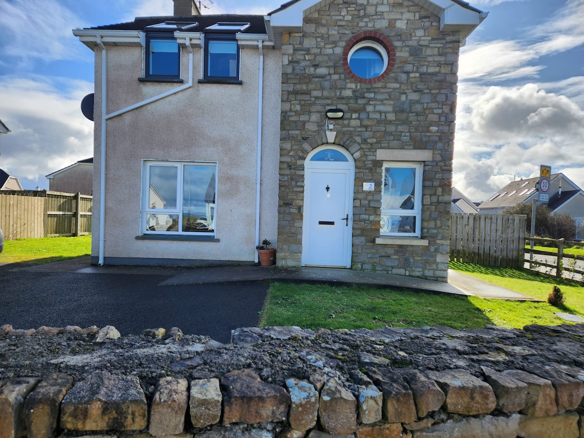 IndicatedFairy fort / earthen ringfort · 1.5 mi
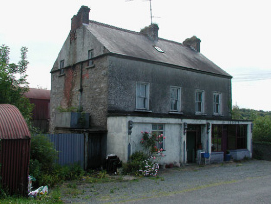 Dillon'shouse · 1.5 mi
 Little IslandIslet · 2.1 mi
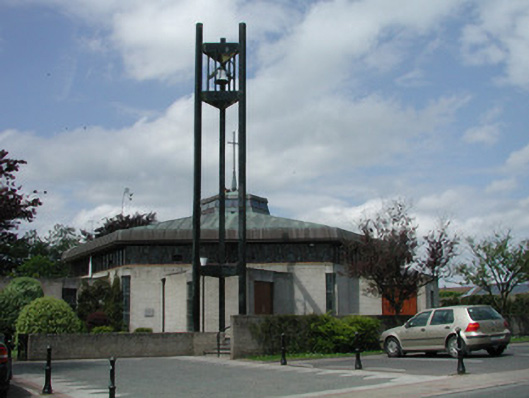 Saint Mary's Catholic Churchchurch/chapel · 2.1 mi
 Duck IslandIslet · 2.1 mi
 Lawson's CypressLawson's Cypress · 2.5 mi
 CastleCastle, tower house · 2.7 mi
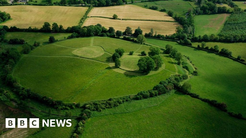 Sheean FortFairy fort / earthen ringfort · 1.8 mi
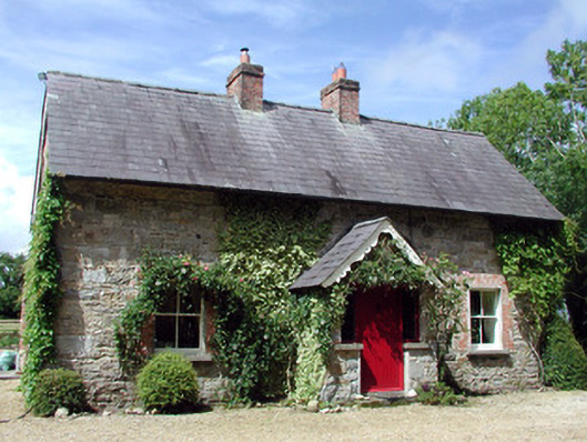 Errew Cottageworker's house · 2.2 mi