What is recorded here
Mnemo records the facts and lets you judge the shape. This is the user's own machine, not a claim that you are never wrong. I can be wrong, misread or invent. Show the facts, check the facts and ask for the wanted result.
On a WSW-facing slope in pasture. A raised circular area (diam. c. 35m) enclosed by a substantial bank of earth and stone (Wth 6.3m; H 1.2m) with a wide, deep, external fosse (Wth 4.4m; D 0.95m). A break (Wth 3.1m) in the bank at ESE with an accompanying causeway marks the original entrance. This rath, particularly the interior, is very densely overgrown with scrub rendering satisfactory inspection impossible.
Compiled by: Patrick F. O'Donovan
Date of upload: 11 January 2012
The monument record does not grant public access. Check the route and ask the landowner before entering private land.
- What survives
- Recorded monument
Places near here
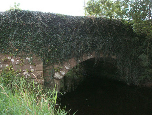 bridgebridge · 868 yd
 Dermot & Grania's BedArchaeological place · 1622 yd
 BarrowBarrow, ring-barrow · 1623 yd
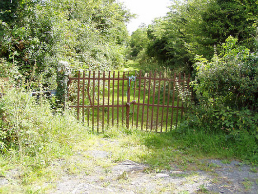 gates/railings/wallsgates/railings/walls · 1.0 mi
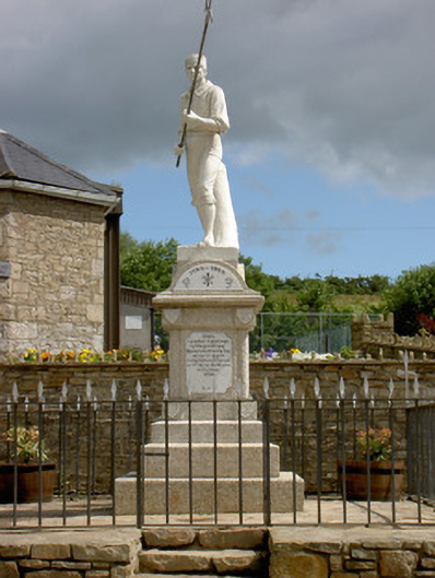 1798 Monumentmonument · 1.4 mi
 Battle of BallinamuckMajor battlefield · 1.5 mi
 Native Woodland Trust: Farnaght ReserveWood · 1.7 mi
 Ballinamuck Bog LoopWalking route · 2.7 mi
 OratoryCastle, tower house · 3.8 mi
 Derrinch IslandIslet · 4.4 mi
 North Midland Transport CollectionMuseum · 4.6 mi
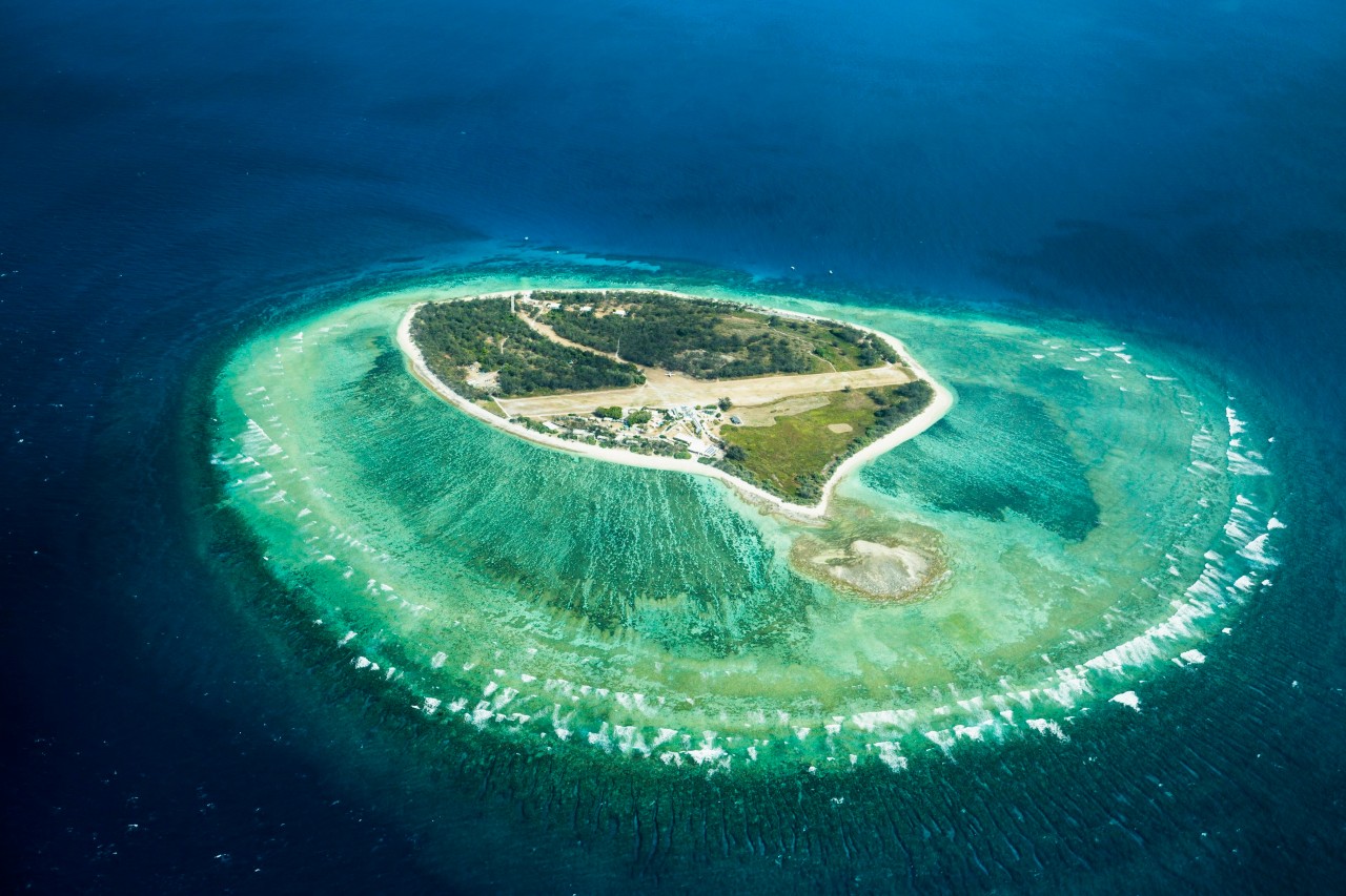 Lady Elizabeth's IslandIslet · 4.9 mi