What is recorded here
Danish Fort on Wogan's 1750 map, but the earth and stone ring in Drumbad belongs to no date certain. Twenty-four metres across, half swallowed by grass and cut through by a field bank, it keeps its shape like a forgotten promise. The entrance has vanished, the fosse barely shows, yet the circle remains visible in the low ground where people once drew a line between inside and out.
Situated in a low-lying area. A ‘Danish Fort’ is depicted on an estate map (Wogan 1750, 27), and on later OS 6-inch maps. This is an overgrown circular area (int. diam. c. 24m N-S; c. 22m E-W) defined by an earth and stone bank (at S: Wth of base 7.9m; Wth of top 1.5m; int. H 1.6m; ext. H 2m) with slight traces of an external fosse (at S: Wth of top 4m; Wth of base 1m; ext. D 0.5m). The original entrance is not identified, and the monument is bisected by an ENE-WSW field bank.
The above description is derived from 'The Archaeological Inventory of County Leitrim' compiled by Michael J. Moore (Dublin: Stationery Office, 2003). In certain instances the entries have been revised and updated in the light of recent research.
Compiled by: Michael Moore
Date of upload: 23 September 2008
Amended: 7 January 2020
The monument record does not grant public access. Check the route and ask the landowner before entering private land.
- What survives
- Recorded monument
Places near here
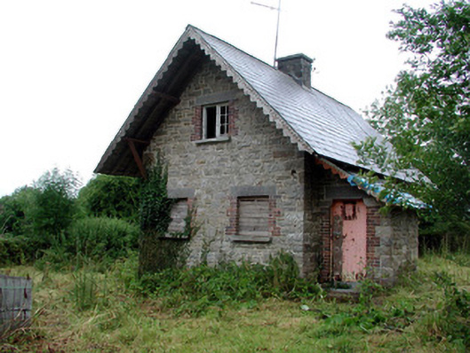 Lough Rynn Housegate lodge · 946 yd
 IndicatedEnclosure · 976 yd
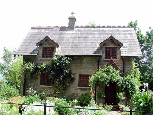 The Cottageworker's house · 984 yd
 OratoryCastle, tower house · 1042 yd
 Derrinch IslandIslet · 1.1 mi
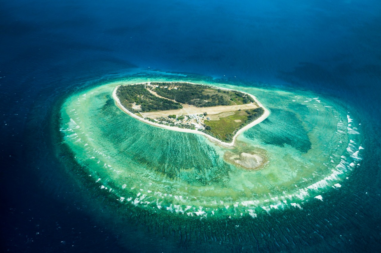 Lady Elizabeth's IslandIslet · 1.1 mi
 Druid's AltarArchaeological place · 1.2 mi
 Holm OakHolm Oak · 1.3 mi
 Western HemlockWestern Hemlock · 1.4 mi
 CastleCastle, tower house · 1.4 mi
 Giant's GraveArchaeological place · 2.1 mi
 Turlough O'Carolan MonumentHeritage attraction · 3.5 mi