What is recorded here
West of the dividing field boundary, a substantial earthen bank still circles a raised area, marking the surviving half of a fort wide enough for forty paces across. The eastern half has been levelled into ordinary farmland, erasing the larger chamber while leaving the western chamber exposed. The fort stands half-swallowed, its missing side hidden beneath soil and forgetting.
Marked 'Fort' and indicated as a circular enclosure (int. diam. c. 40m) on the OS 1836 and 1876 eds. Site is divided into two unequal portions by a field boundary running NNE-SSW. A raised area enclosed by a substantial earthen bank and traces of a fosse is visible WNW of the boundary. The larger portion ESE of this has been levelled.
The above description is derived from the published 'Archaeological Inventory of County Cavan' (Dublin: Stationery Office, 1995). In certain instances the entries have been revised and updated in the light of recent research.
Date of upload/revision: 22 December 2008
The monument record does not grant public access. Check the route and ask the landowner before entering private land.
- What survives
- Recorded monument
Places near here
 DrumacarrowMountain / peak · 192 yd
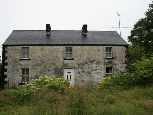 Drumacarrow Housefarm house · 614 yd
 CarnalynchMountain / peak · 1646 yd
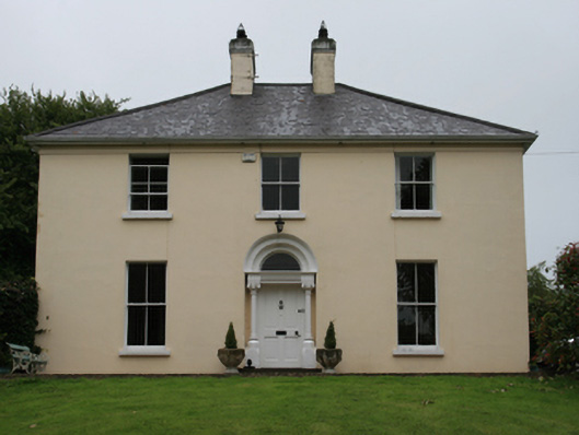 Urcher Mansemanse · 1.0 mi
 Brothers GravesVisitor information · 1.6 mi
 In Memory of Patrick KiernanMemorial · 1.7 mi
 IndicatedFairy fort / earthen ringfort · 1.8 mi
 Enclosure in CornanaffEnclosure · 1.8 mi
 CastleCastle, motte · 1.8 mi
 Castle Lake ForestForest · 1.9 mi
 Beagh Glebe ForestWood · 2.0 mi
 Birthplace of General Philip SheridanMemorial · 2.2 mi