What is recorded here
Fairy fort in Dromore (farney By.) is an earthen ringfort on a drumlin slope in County Monaghan, Ireland. Its grass-covered circle, stone-faced bank and partial fosse suggest a defended or ceremonial place shaped by human hands. Local names and changed boundaries show that people kept finding the site worthy of notice, even when its exact purpose faded from memory.
Located on the NW-facing slope of a NW-SE drumlin ridge. This is a grass-covered circular area (32.6m NE-SW; 31.4m NW-SE) defined by an earthen bank (Wth of base 4.2-4.6m; int. H 0.4-1m; ext. H 0.8m at E to 2.2m at W) and hedge, with an outer fosse (at W: Wth of top 4m; ext. D 1m) that only survives S-NNW. The fosse has been removed NNW-E-S, and the outer face of the bank here is stone-faced. There are gaps in the bank at SSW and SSE, but the latter (Wth of base 2m) with a causeway may be the original entrance. The growth has been cleared from the bank since 1967 (Bing 2013).
The above description is derived from the published 'Archaeological Inventory of County Monaghan' (Dublin: Stationery Office, 1986). In certain instances the entries have been revised and updated in the light of recent research.
Date of revision: 27 July 2017
This remains an important historical record, but the official description says the monument is no longer visible or has been destroyed. The monument record does not grant public access. Check the route and ask the landowner before entering private land.
- What survives
- No visible remains or recorded as destroyed
Places near here
 Man-made underground passage in Dromore (farney By.)Man-made underground passage · 164 yd
 IndicatedEnclosure · 285 yd
 bridgebridge · 903 yd
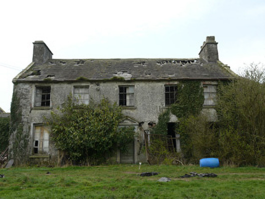 Rocksavagecountry house · 1597 yd
 CastleCastle, unclassified · 1.6 mi
 Mount AshCastle, motte · 3.4 mi
:no_upscale()/cdn.vox-cdn.com/uploads/chorus_asset/file/25593391/County_Louth_6th.jpg) LouthMountain / peak · 3.8 mi
LouthMountain / peak · 3.8 mi Flat cemetery in AnnaheanFlat cemetery · 5.2 mi
 Ballsmill Amenity LandPicnic place · 6.5 mi
 Sky HillMountain / peak · 6.6 mi
 Photo GalleryHeritage attraction · 7.4 mi
 Dundalk CentralHeritage attraction · 7.4 mi