What is recorded here
Dromore East contains a vanished ringfort, mapped in 1834 as a circular embankment thirty metres across but no longer visible beneath improved pasture. The surveyor drew it on a drumlin spine, yet the land has swallowed the fort or the fort never resisted the pasture at all. What remains is a ghost line on an old map, marking the exact place where human shape stopped competing with the field.
Located towards the top of the SW-facing spine of a NE-SW drumlin ridge. A circular embanked enclosure (ext. diam. c. 30m) is depicted only on the 1834 edition of the OS 6-inch map where it is described in gothic lettering as a ‘fort’. No archaeological feature is visible at ground level in improved pasture.
The above description is derived from the published 'Archaeological Inventory of County Monaghan' (Dublin: Stationery Office, 1986). In certain instances the entries have been revised and updated in the light of recent research.
Revised by: Michael Moore
Date of revision: 18 June 2018
The monument record does not grant public access. Check the route and ask the landowner before entering private land.
- What survives
- Recorded monument
Places near here
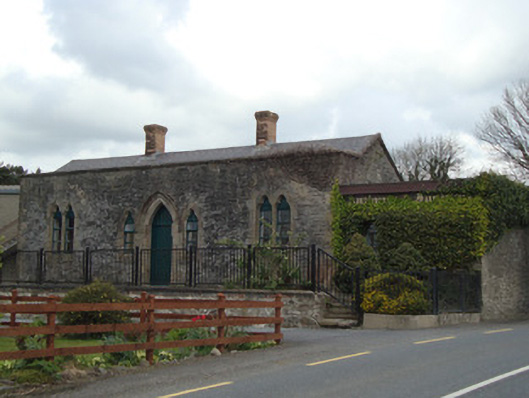 Monaghan Road Railway Stationrailway station · 647 yd
 W. Sloanhouse · 783 yd
 Carrick an AffrinMass-rock · 1204 yd
 IndicatedFairy fort / earthen ringfort · 1617 yd
 LisnaspeenanMountain / peak · 3.2 mi
 Ballybay Wetland CentreNature reserve · 3.5 mi
 Fedd HillMountain / peak · 3.6 mi
 The Rabbit BurrowWood · 3.9 mi
 Rossmore MausoleumHeritage attraction · 4.8 mi
 Giant Redwood (1862)Heritage attraction · 5.0 mi
 Roosky Castle (Site of)Castle, ringwork · 5.6 mi
 Senator Billy Fox 1939 - 1974Memorial · 8.1 mi