What is recorded here
No fairy appears in the facts, but the name still belongs to the hill. The true shape is a scarped earth ring, thirty metres long and nineteen wide, holding two mature trees inside pasture. That much is visible without inventing wonder.
In pasture, atop low hill. Semicircular area (30.5m N-S; 19.5m E-W) defined by scarped edge (H 1.7m; Wth 7.4m) NNW->SSE. A field boundary, which formerly bisected enclosure has been removed and is now replaced by wire fence; no trace of enclosure evident of W side fence. Scarp lowers NNW->NNE (H 0.4m; Wth 4m) and SE->SSE (H 0.15m; Wth 2m). Level interior, under pasture, contains two mature deciduous trees in NW quadrant.
Compiled by: Denis Power
Date of upload: 26 August 2011
This remains an important historical record, but the official description says the monument is no longer visible or has been destroyed. The monument record does not grant public access. Check the route and ask the landowner before entering private land.
- What survives
- No visible remains or recorded as destroyed
Places near here
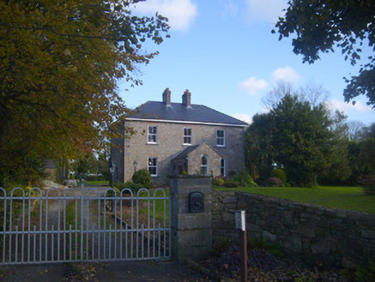 Dromaher Househouse · 123 yd
 Icehouse in ShannongroveIcehouse · 771 yd
 Shannongrove Housecountry house · 932 yd
 Sweet ChestnutSweet Chestnut · 944 yd
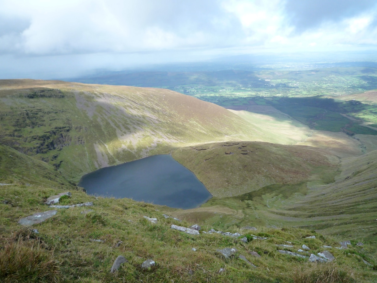 IndicatedEnclosure · 1172 yd
 Ringmoylan PierVisitor information · 1.1 mi
 Bawn in Castletown (kenry By.)Bawn · 1.3 mi
 Carriganea CastleCastle · 1.4 mi
 Horse RockNamed rock · 1.9 mi
 Mellon PointHeadland · 1.9 mi
 Grass IslandIslet · 2.9 mi
 Stonehall Visitor FarmHeritage attraction · 3.3 mi