What is recorded here
Drominacreen holds a twenty-nine-metre earthen ring on a slight south-facing slope, marked by a five-metre fosse and a broad causeway at the southeast. Cattle still graze the buried entrance, treating the ancient boundary as ordinary ground. The fort may have served as a seasonal shelter or a forgotten home, but its shape resists easy explanation. It remains a quiet chamber where human life and fairy tale both refuse to leave the field.
In pasture, on slight S-facing slope. Circular area (29m E-W) enclosed by earthen bank (int. H 0.2m; ext. H 1.4m) with an external fosse (D 0.3m; Wth 5m). Entrance via causeway (Wth 9m) across fosse at SSE. Entire site under pasture.
Compiled by: Denis Power
Date of upload: 26 August 2011
The monument record does not grant public access. Check the route and ask the landowner before entering private land.
- What survives
- Recorded monument
Places near here
 CastleCastle, unclassified · 1082 yd
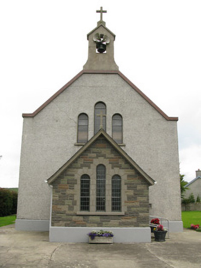 Saint Ita's Catholic Churchchurch/chapel · 1145 yd
 Church (in ruins)Church · 1151 yd
 Garbally WellSpring · 1326 yd
 Moated site in BallinruaneMoated site · 1.2 mi
 Mayne Ho.Castle, unclassified · 1.3 mi
 Moated site in AhaveheenMoated site · 1.6 mi
 ToberhoranSpring · 1.7 mi
 National Co-op MuseumMuseum · 4.6 mi
 Famine stoneMemorial · 6.3 mi
 KnockfeerinaMountain / peak · 6.7 mi
 Ballagh MountainMountain / peak · 7.3 mi