What is recorded here
Dromdoneen holds a forgotten circular home, reduced now to a low ridge twenty-five yards wide on a north-facing slope above the Mealagh River. The western bank still rises sixteen feet, but the rest has surrendered to grass and time. A distant well beneath the site hints that water once flowed through this place, perhaps sustaining the hands that built it or the lives that turned it into legend.
In grassland, on N-facing slope, W of Mealagh River. Marked as circular enclosure on OS 6-inch map (1842). Bank (H 1.6m) W->E; otherwise levelled. Myler (1998, 14) records that 'It is now just about visible as a low circular ridge measuring about 25 yards in diameter. There is a well or drain visible in the north facing slope some distance beneath this site which could possibily be an indication of a sourterrain feature connected with this fort.'
The above description is derived from the published 'Archaeological Inventory of County Cork. Volume 1: West Cork' (Dublin: Stationery Office, 1992). In certain instances the entries have been revised and updated in the light of recent research.
Date of upload: 23 January 2012
A fairy fort / earthen ringfort in Dromdoneen, likely an early-medieval agricultural or defensive site, is situated on a north-facing slope west of the Mealagh River. It is associated with local folklore surrounding fairy activity, and its earthworks, particularly a 1.6m-high bank from west to east, were noted in 19th-century maps and surveys.
The monument record does not grant public access. Check the route and ask the landowner before entering private land.
- What survives
- Recorded monument
Places near here
 Cliff-edge fort in DromdoneenCliff-edge fort · 287 yd
 Drombrow Housecountry house · 538 yd
 Country house in InchicloghCountry house · 1012 yd
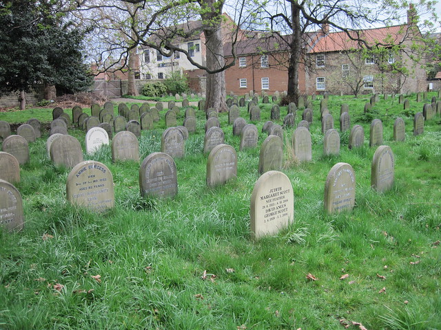 Burial ground in DrombrowBurial ground · 1236 yd
 Ballylickey BayBay · 1.8 mi
 Castle (in Ruins)House, fortified house · 1.9 mi
 Graveyard in TownlotsGraveyard · 2.0 mi
 Trawlebane WalkWalking route · 2.0 mi
 Tourist OfficeVisitor information · 2.1 mi
 Statue of Wolfe ToneMemorial · 2.1 mi
 Eagle PointHeadland · 2.2 mi
 Horse IslandIslet · 2.3 mi