What is recorded here
Fairy fort in Drewscourt West: a broken ring in pasture, thirty metres wide on the old map, reduced to a shallow scar and faint ditch. It is not gone completely. The grass still marks the circle, and the land remembers the shape even when people stopped seeing it.
In gently undulating pasture. Monument, depicted as a circular enclosure (diam. c. 30m) on 1923 OS 6-inch map, has been levelled and surrounding field boundaries removed. However, its outline is still evident as circular area (22m N-S; 23m E-W), slightly truncated at S end by former E-W field boundary, defined by scarped edge (H c. 0.35m; Wth c. 4m) with external fosse (D c. 0.2m; Wth c. 2m). Entire site is under pasture.
Compiled by: Denis Power
Date of upload: 26 August 2011
The monument record does not grant public access. Check the route and ask the landowner before entering private land.
- What survives
- Recorded monument
Places near here
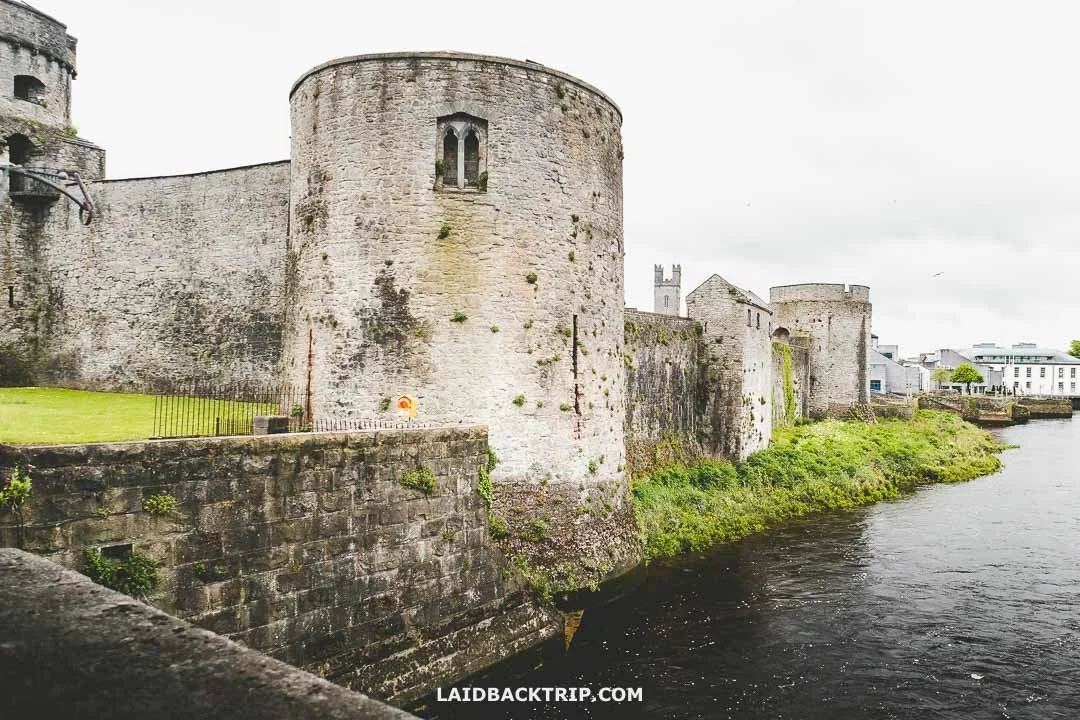 Cooreagh Fort - HachuredFairy fort / earthen ringfort · 1721 yd
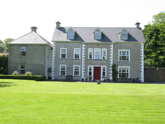
 Kilmurry Housecountry house · 1.3 mi
 Our Lady's WellSpring · 1.3 mi
 Castle (in ruins)Castle, hall-house · 1.3 mi
 IndicatedCastle, motte · 1.3 mi
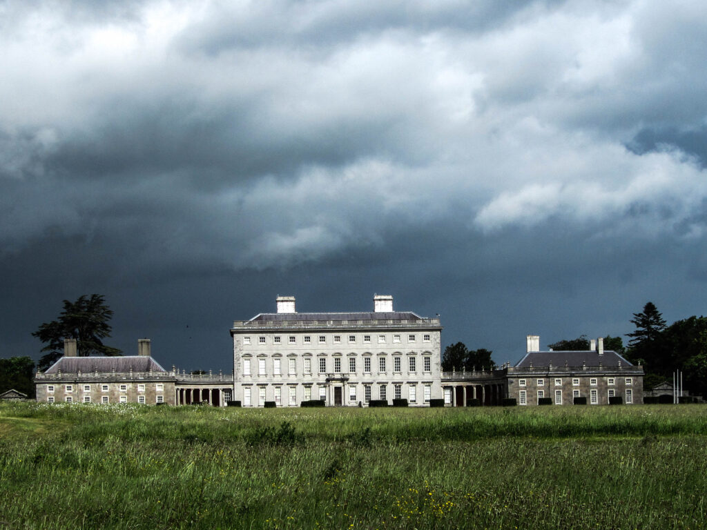
 Castletown Conyerscountry house · 1.4 mi
 Enclosure in Castletown (connello Upper By.)Enclosure · 1.5 mi
 Saint Derivla's WellSpring · 1.5 mi
 National Co-op MuseumMuseum · 5.3 mi
 Battle of LiscarrollMajor battlefield · 9.6 mi
 Mullaghareirk - Banane LoopWalking route · 11 mi
 Church (in ruins)Church · 1.5 mi