What is recorded here
Fairy fort in Doory, County Longford: a 20 m ring of low earth and stone in a pasture hollow, with a shallow southern ditch and an eastern entrance noted in 1976. It is the sort of place where children might have imagined doors, while people more often saw only a damaged field mark.
In a slight hollow in undulating pasture. A raised circular area (diam. c. 20m) enclosed by a much-denuded, low bank of earth and stone (Wth c. 2.5m; H 0.3m) from W-NW-NNW and elsewhere defined by a scarp (H 0.4m). At the base of the scarp at S are traces of a wide shallow fosse (Wth 5m; D 0.3m). A report in 1976 (SMR file) recorded that the original entrance was at E. Boulders and smaller stones have been dumped on the monument.
Compiled by: Patrick F. O'Donovan
Date of upload: 10 January 2011
The monument record does not grant public access. Check the route and ask the landowner before entering private land.
- What survives
- Recorded monument
Places near here
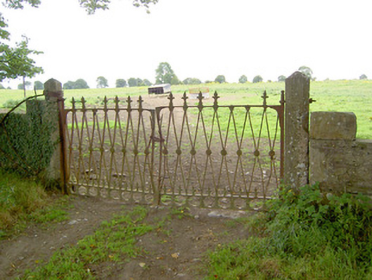 Doory Hallgates/railings/walls · 470 yd
 IndicatedFairy fort / earthen ringfort · 494 yd
 DoonphilipCastle, motte · 1407 yd
 Kilbally Holy WellHoly well · 1562 yd
 Catholic Church of the Sacred Heartchurch/chapel · 1609 yd
 Not locatedCastle, unclassified · 1.0 mi
 Newcastle WoodsForest · 2.5 mi
 Target WoodWood · 2.7 mi
 Guest ServicesVisitor information · 3.3 mi
 Craft WorkshopHeritage attraction · 3.3 mi
 National Famine WayWalking route · 3.8 mi
 Corlea Bog Walk Canal BranchWalking route · 4.3 mi