What is recorded here
Doonawanly holds a faded ringfort where a sharp fence and solid wall once bit into the Cork landscape. The earth has softened into a low rise, but the ghost of a causewayed entrance still points east-southeast, inviting entry into a forgotten room. Perhaps people lived there, loved there and disappeared, leaving only a circular shadow in the grass.
In pasture. Depicted as hachured circular enclosure (diam. c. 45m) on 1842, 1905 and 1935 OS 6-inch maps. Levelled; roughly circular area (c. 50m E-W; c. 42m N-S) survives defined by low rise; possible entrance to E. Circular enclosure visible as cropmark of fosse, with causewayed entrance to ESE, in aerial photograph (CASAP).
The above description is derived from the published 'Archaeological Inventory of County Cork. Volume 4: North Cork' (Dublin: Stationery Office, 2000). In certain instances the entries have been revised and updated in the light of recent research.
Date of upload/revision: 14 January 2009
The monument record does not grant public access. Check the route and ask the landowner before entering private land.
- What survives
- Recorded monument
Places near here
 St Bernards WellHoly well · 944 yd
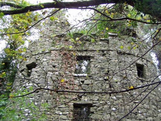 Castle Curioushouse · 968 yd
 Shanballymore Castle (Site of)Castle, unclassified · 1016 yd
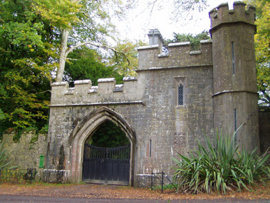 Anne's Grovegate lodge · 1051 yd
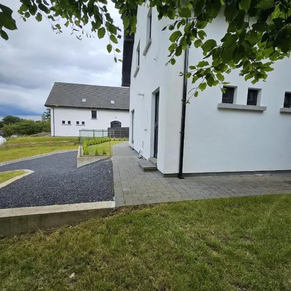 Enclosure in Ballyellis (fermoy By., Templeroan Par.)Enclosure · 1227 yd
 IndicatedCastle, tower house · 1435 yd
 Anne's Grove GardensHeritage attraction · 1.1 mi
 Horse Field WoodForest · 2.9 mi
 North Meadow WoodForest · 3.1 mi
 Flat cemetery in Ballyenahan NorthFlat cemetery · 3.9 mi
 Smith's WellSpring · 4.6 mi
 Blackwater (Avondhu) WayWalking route · 5.1 mi