What is recorded here
Mortons has a hole in it because the fort is missing. Doolargy still has its ring, an oval of earth thirty-six metres long and twenty-one wide, with a stone-lined gap at the south-east. The bank rises half a metre inside and a metre and a half outside, thin enough to step over yet continuous enough to exclude. No ditch remains, and no owner is named. The shape does not need a legend to be extraordinary; it is a boundary drawn in soil, still holding its line after every field around it was taken for granted.
The following description is derived from both the published 'Archaeological Inventory of County Louth' (Dublin: Stationery Office, 1986) and the 'Archaeological Survey of County Louth' (Dublin: Stationery Office, 1991). In certain instances the entries have been revised and updated in the light of recent research.
Date of upload/revision: 17 July 2007
Oval area (int. dims. 36.5m NE-SW, 21.5m NW-SE) enclosed by earthen bank (Wth 3.5m, H 0.5m internally, 1.5m externally) with stone-lined entrance gap (Wth 1.6m-2.1m) at SE. No visible fosse.
The monument record does not grant public access. Check the route and ask the landowner before entering private land.
- What survives
- Recorded monument
Places near here
 Fulacht fia in DoolargyFulacht fia · 316 yd
 Hut site in BallymakellettHut site · 738 yd
 presbytery/parochial/curate's housepresbytery/parochial/curate's house · 1043 yd
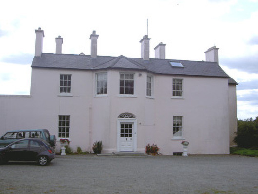 Doolargy Househouse · 1088 yd
 Drumisnagh HillMountain / peak · 1.2 mi
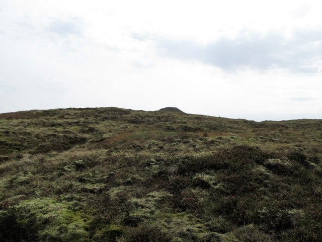 CarnavaddyMountain / peak · 1.2 mi
 Proleek DolmenArchaeological place · 1.4 mi
 Cooley MountainsMountain range · 1.8 mi
 CastleCastle, tower house · 1.9 mi
 Long Woman's GraveArchaeological place · 2.0 mi
 Ravensdale LoopWalking route · 2.4 mi
 Ravensdale ForestForest · 2.5 mi