
What is recorded here
The following description is derived from both the published 'Archaeological Inventory of County Louth' (Dublin: Stationery Office, 1986) and the 'Archaeological Survey of County Louth' (Dublin: Stationery Office, 1991). In certain instances the entries have been revised and updated in the light of recent research.
Date of upload/revision: 17 July 2007
Situated in swampy ground to E of small stream. Horseshoe-shaped mound (max. dims. 4m by 3.5m, H 0.2m) of burnt stones. Site much degraded, but probable position of trough on W.
The monument record does not grant public access. Check the route and ask the landowner before entering private land.
- What survives
- Recorded monument
Places near here
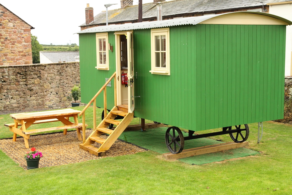 Hut site in BallymakellettHut site · 569 yd
 Hut site in DoolargyHut site · 966 yd
 presbytery/parochial/curate's housepresbytery/parochial/curate's house · 1341 yd
 Saint Mary's Roman Catholic Churchchurch/chapel · 1403 yd
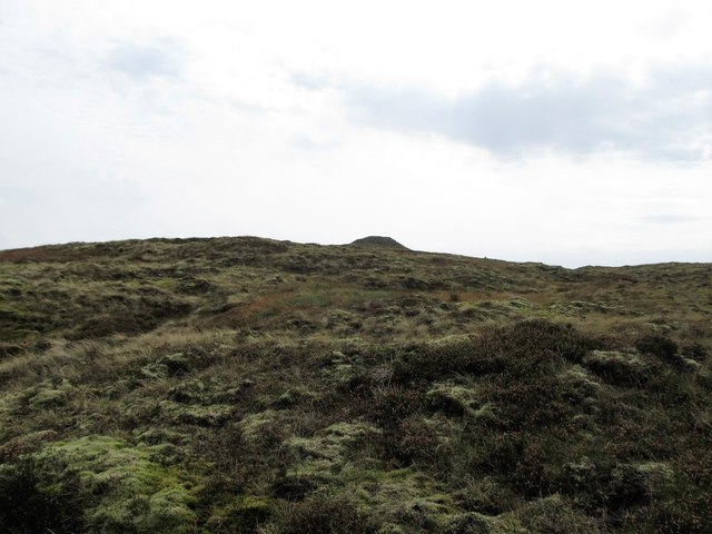 CarnavaddyMountain / peak · 1.1 mi
 The Round MountainMountain / peak · 1.2 mi
 Proleek DolmenArchaeological place · 1.6 mi
 Cooley MountainsMountain range · 1.6 mi
 Long Woman's GraveArchaeological place · 1.8 mi
 CastleCastle, tower house · 2.0 mi
 Ravensdale LoopWalking route · 2.5 mi
 Ravensdale ForestForest · 2.6 mi
Other information
Photo: Credit not shown in the picture search · Rights wording not checked; contact us if this picture should be removed