What is recorded here
Fairy forts are not for us, they say. They belong to the old ones who never left. We map them, measure them, write them down. They watch us forget the shape of the world.
On a SW-facing slope in pasture. Depicted as a circular enclosure with the designation 'Fort' on the 1837 ed. of the OS 6-inch map. A report in 1987 (SMR file) recorded a slightly raised circular area (diam. c. 30m) enclosed by very fragmentary traces of a low bank of earth and stone. There was no trace of a fosse and the original entrance was not recognisable. Stone protruded from the interior. Not visible at ground level.
Compiled by: Patrick F. O'Donovan
Date of upload: 10 January 2012
The monument record does not grant public access. Check the route and ask the landowner before entering private land.
- What survives
- Recorded monument
Places near here
 RoadRoad, class 2 togher · 387 yd
 PlatformPlatform, peatland · 473 yd
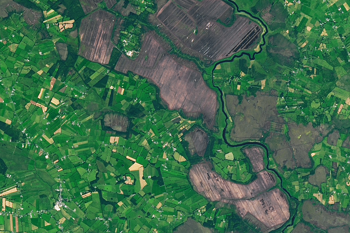 StructureStructure, peatland · 885 yd
 42nd Locklock keeper's house · 1289 yd
 IndicatedBawn · 1.1 mi
 Bawn in BallyknockBawn · 1.6 mi
 Graveyard in Curry (ardagh By., Coolamber Ed)Graveyard · 3.2 mi
 White Sand WoodWood · 5.2 mi
 Wild birdsVisitor information · 5.3 mi
 Commons North WalkVisitor information · 5.4 mi
 Ballyclare IslandIslet · 5.8 mi
 Priest's IslandIslet · 6.6 mi