What is recorded here
Half a moon of earth, forty metres wide, the Finnery River cut its flat top and kept the rest alive. Cattle graze the scarp now, but the fort still stands where the water took it, half-swallowed and half-remembered.
In lowlying level, improved pasture, drained immediately to the N by the W-flowing Finnery River, and formerly immediately to the S where the track of an infilled field drain is visible. A slightly raised D-shaped area (diam. 41m E-W) with a straight N side (L 32m) truncated by the Finnery River is defined NNE--S-NNW by a long low scarp (H 0.4-1m).
Compiled by: Gearóid Conroy
Date of upload: 01 October 2013
The monument record does not grant public access. Check the route and ask the landowner before entering private land.
- What survives
- Recorded monument
Places near here
 Enclosure in RathconnellwoodEnclosure · 816 yd
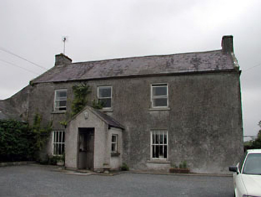 Gorteen Housefarm house · 1585 yd
 Fuaran WellHoly well · 1674 yd
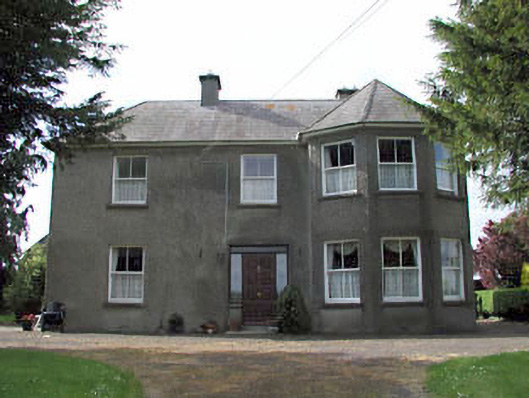 farm housefarm house · 1696 yd
 Site of CastleCastle, unclassified · 1.7 mi
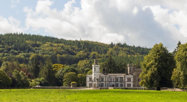 CastleCastle, unclassified · 1.8 mi
 Derryvullagh IslandForest · 1.9 mi
 Brookfield WoodWood · 2.8 mi
 History of Moat of ArdscullVisitor information · 3.5 mi
 Gorden Bennet Race memorialMemorial · 3.5 mi
 Battle of Kilrushbattle · 3.5 mi
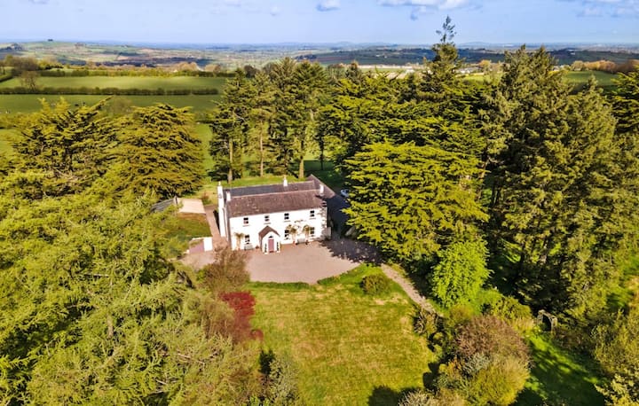 Enclosure in Mylerstown (harristown Ed)Enclosure · 1748 yd