What is recorded here
Derrynacaheragh hides a thirty-five-metre circular enclosure on a sun-facing slope above the Feabunane stream, though grass and time have erased its ridge from human sight. The 1846 survey captured the shape before pasture swallowed it, preserving a boundary that maybe never needed walls because the land itself remembered the circle. Fairy forts do not build with stone; they draw lines in soil and wait for people to stop looking.
In pasture, on a S-facing slope to the N of the Feabunane stream. This possible rath is not visible at ground level. It is indicated as a circular enclosure (diam. c. 35m) on the 1846 OS 6-inch map.
The above description is derived from the published 'Archaeological Inventory of County Kerry. Volume I: South-West Kerry' (Dublin: Stationery Office, 2009). In certain instances the entries have been revised and updated in the light of recent research.
Date of upload: 30 May 2011
The monument record does not grant public access. Check the route and ask the landowner before entering private land.
- What survives
- Recorded monument
Places near here
 IndicatedFairy fort / earthen ringfort · 690 yd
 KilnKiln, lime · 744 yd
 Hut site in KillabunaneHut site · 758 yd
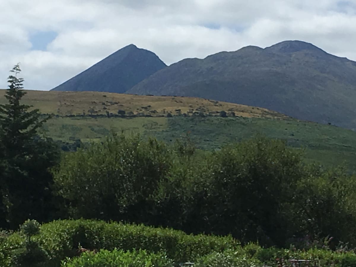
 DerrynacaheraghMountain / peak · 1201 yd
 Barraduff MountainMountain / peak · 1.0 mi
 Dromagorteen Br.Bridge · 1.7 mi
 CrannogHeritage attraction · 1.7 mi
 Bonane Heritage ParkMuseum · 1.9 mi
 Mucksna Nature ReserveNature reserve · 2.9 mi
 Monterey PineMonterey Pine · 3.3 mi
 CastleCastle, unclassified · 3.5 mi
 Kenmare Heritage Town - Main StreetMemorial · 3.5 mi