What is recorded here
Mound and ditch still mark the top of the drumlin, though age and purpose have faded from human memory. The fort stands ready to be seen, not explained.
Located on the summit of a drumlin. This is a subcircular domed and grass-covered area (dims 59m NE-SW: 52m NW-SE) that slopes down to the SW defined by an earthen bank (at NW: Wth of base 3.4m; Wth of top 1.9m; int. H 0.5m; ext. H 1.8m) and hedge with slight traces of an outer fosse W-N, but the perimeter is largely reduced to a scarp (H 1.1-1.6m) and hedge. A ramp entrance rises tangentially up the scarp at SSE.
The above description is derived from the published 'Archaeological Inventory of County Monaghan' (Dublin: Stationery Office, 1986). In certain instances the entries have been revised and updated in the light of recent research.
Date of revision: 30 August 2017
The monument record does not grant public access. Check the route and ask the landowner before entering private land.
- What survives
- Recorded monument
Places near here
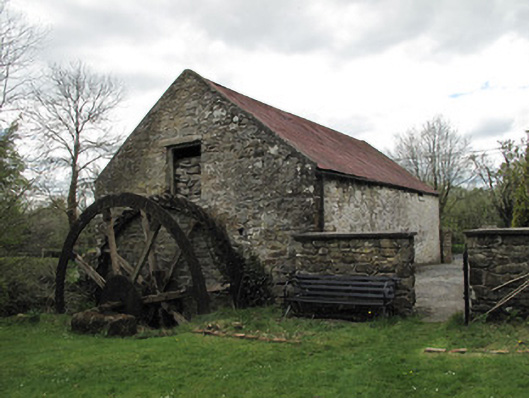 Drummans Millmill (water) · 357 yd
 IndicatedFairy fort / earthen ringfort · 1.1 mi
 Ecclesiastical enclosure in SellooEcclesiastical enclosure · 1.2 mi
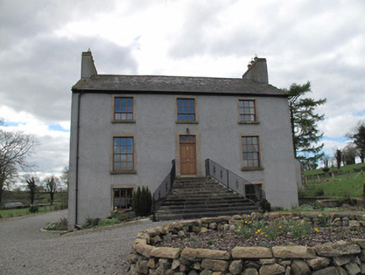 Kilcorran Househouse · 1.8 mi
 Attack on Derryard checkpointterrorist attack · 2.4 mi
 Sliabh Beagh Hotel and Tourism CentreVisitor information · 2.7 mi
 Rough HillMountain / peak · 3.0 mi
 Western RedcedarWestern Redcedar · 3.6 mi
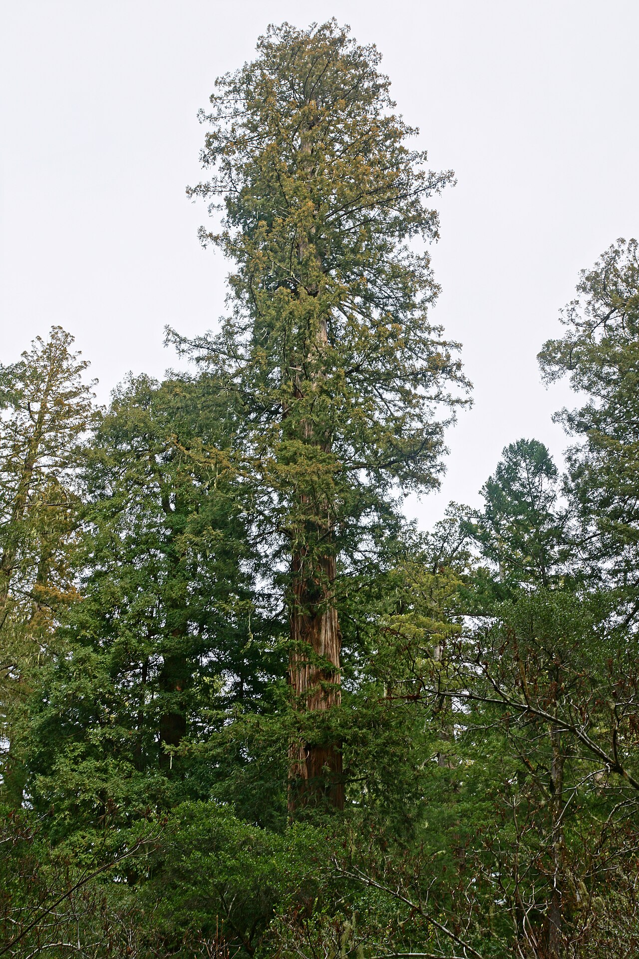 Coast RedwoodCoast Redwood · 3.6 mi
 EshmoreMountain / peak · 4.1 mi
 Jaundice WellSpring · 4.4 mi
 Roosky Castle (Site of)Castle, ringwork · 5.5 mi