What is recorded here
Fairy fort in Derryleary, County Cork: earthen ringfort, mapped 1842, now levelled. It vanished from the pasture to become a story about hidden life and forgotten shape. The land keeps what measurement loses.
In pasture to E of road. On OS 6-inch map (1842) as circular enclosure: now levelled; no visible surface trace.
The above description is derived from the published 'Archaeological Inventory of County Cork. Volume 1: West Cork' (Dublin: Stationery Office, 1992). In certain instances the entries have been revised and updated in the light of recent research.
Date of upload/revision: 14 January 2009
The monument record does not grant public access. Check the route and ask the landowner before entering private land.
- What survives
- Recorded monument
Places near here
 Church in CoveChurch · 328 yd
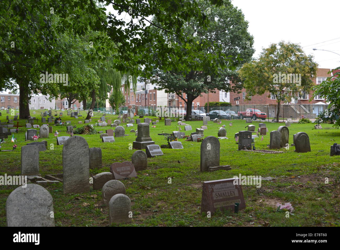 Childrens Burial Gd (Disused)Burial ground · 447 yd
 Castle (in Ruins)Castle, unclassified · 965 yd
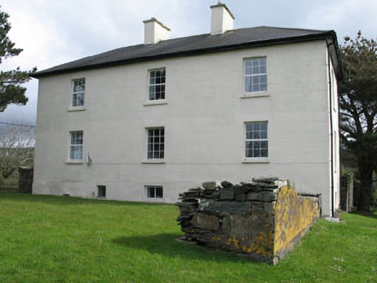 Leamcon Housecountry house · 1083 yd
 Site of Leamcon Old HoCountry house · 1084 yd
 Dick's IslandIslet · 1558 yd
 AltarViewpoint · 1.0 mi
 Green IslandIslet · 1.1 mi
 Ballyrisode PointHeadland · 1.8 mi
 Ballyrisode WoodWood · 2.1 mi
 Dunmanus Castle (in Ruins)Castle, tower house · 2.9 mi
 KnockaphucaMountain / peak · 3.2 mi