What is recorded here
Fairy fort in Derrycolumb, County Longford: a 38-metre circular rise enclosed by a broad earth-and-stone bank, with a broken line at the north-east that may have been its entrance. The land around is low and wet, which makes the small height feel deliberate, as if someone chose the driest place available and shaped it into a room without walls. People may have lived there, excluded others there, or simply marked the boundary between ordinary pasture and a place set apart.
On a rise in low-lying pasture. A raised circular area (diam. c. 38m) enclosed by a bank of earth and stone (Wth 6m; H 0.4-0.5m) with an external fosse (Wth 2.4-3.4m; D 0.4-0.6m). A report in 1976 (SMR file) noted an outer bank. A break (Wth 2.2m) in the bank at NE may mark the original entrance.
Compiled by: Patrick F. O'Donovan
Date of upload: 26 August 2011
The monument record does not grant public access. Check the route and ask the landowner before entering private land.
- What survives
- Recorded monument
Places near here
 IndicatedFairy fort / earthen ringfort · 1299 yd
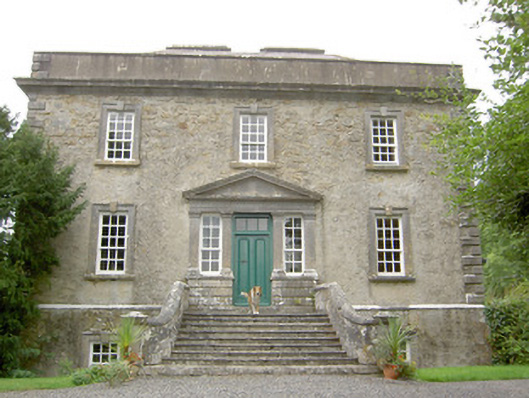 Ledwithstown Househouse · 1514 yd
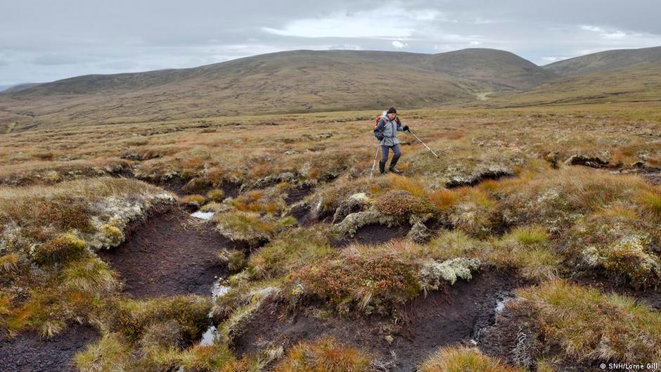 PlatformPlatform, peatland · 1.1 mi
 RoadRoad, class 2 togher · 1.1 mi
 CastleCastle, unclassified · 1.8 mi
 Corlea Trackway Interpretative CentreHeritage attraction · 2.2 mi
 Corlea Bog Walk Canal BranchWalking route · 2.2 mi
 Corlea Bog Walk Blue LoopWalking route · 2.4 mi
 Leveret IslandIslet · 3.1 mi
 Caltragh CastleCastle, unclassified · 3.8 mi
 InchbofinIslet · 3.9 mi
 Culnagore WoodForest · 4.3 mi