What is recorded here
Derrycassan held a thirty-nine-metre earthen ring on a south-west slope, visible in 1975 but erased from sight by 1998. The land swallowed its bank and fosse without warning, turning a documented home into an ordinary pasture gap. People may have lived inside that disappearing circle, marking territory or sheltering from rain, yet the earth removed even the entrance they used.
On a SSW-facing slope in pasture. A report in 1975 (SMR file) recorded a raised circular area (diam. c. 39m) enclosed by a low bank of earth and stone with a shallow external fosse. The original entrance was not recognisable. On re-inspection in 1998 the monument was not visible at ground level.
Compiled by: Patrick F. O'Donovan
Date of upload: 5 December 2012
A fairy fort or earthen ringfort in Derrycassan is a likely early-medieval agricultural or defensive site, characterized by a circular enclosure with an earth and stone bank and a shallow fosse. Local tradition associates such sites with fairy lore, and they were often considered places of supernatural significance in Irish folklore.
The monument record does not grant public access. Check the route and ask the landowner before entering private land.
- What survives
- Recorded monument
Places near here
 Derrycassan WoodsWood · 974 yd
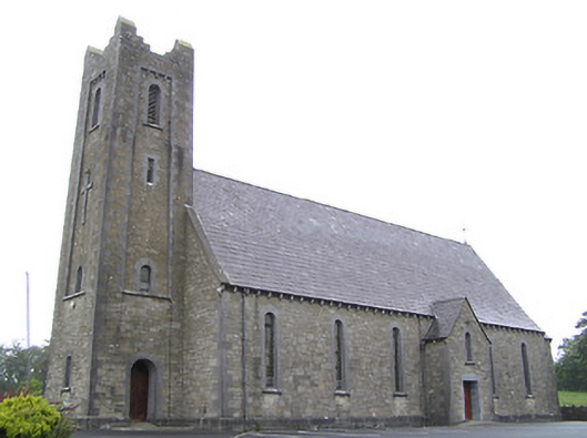 Saint Columba's Catholic Churchchurch/chapel · 1105 yd
 Enclosure in Cloonagh (granard By.)Enclosure · 1158 yd
 Lissakerry FortFairy fort / earthen ringfort · 1499 yd
 St. Columbas R.C. ChurchChurch · 1634 yd
 InchmoreIslet · 1.5 mi
 ToomeMountain / peak · 2.1 mi
 Cornamucklagh WoodlandWood · 2.6 mi
 CartronfreeMountain / peak · 2.9 mi
 Cloone Ho.Castle, unclassified · 3.1 mi
 Scrabby IslandIslet · 3.1 mi
 BawnBawn · 3.2 mi