What is recorded here
No one knows when the fort was built or who first walked its rim, but the earth still holds the shape of a room large enough for a household and a courtyard wide enough for a decision. The flat side faces southeast like a threshold, while the curved bank closes behind it as if to keep the sky from spilling into the middle. cattle may have grazed it for centuries, trusting the ridge more than memory, yet the fort remains visible enough to stop a person mid-thought. It is the kind of place where the living world forgets itself and remembers again.
On top of a long, low NW-SE drumlin ridge in pasture. A report in 1975 (SMR file) noted that this raised D-shaped area (32m NE-SW; 25m NW-SE), with a straight SE side, was enclosed by a low bank of earth and stone, an intervening fosse and an outer bank. It is defined by a scarp (H 1.3-1.6m) at the base of which is a wide, deep fosse (Wth 4.4m; D 0.65-2m). No trace of the outer bank survives and the original entrance is not recognisable.
Compiled by: Patrick F. O'Donovan
Date of upload: 26 August 2011
The monument record does not grant public access. Check the route and ask the landowner before entering private land.
- What survives
- Recorded monument
Places near here
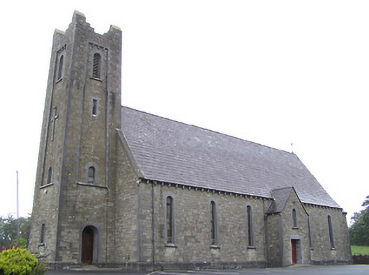 Saint Columba's Catholic Churchchurch/chapel · 962 yd
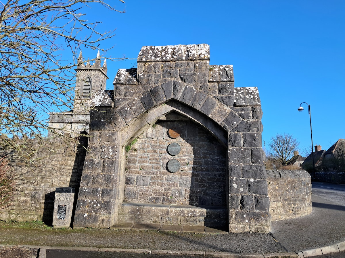 Enclosure in Cloonagh (granard By.)Enclosure · 1029 yd
 Derrycassan WoodsWood · 1069 yd
 Lissakerry FortFairy fort / earthen ringfort · 1452 yd
 St. Columbas R.C. ChurchChurch · 1493 yd
 InchmoreIslet · 1.6 mi
 ToomeMountain / peak · 2.0 mi
 Cornamucklagh WoodlandWood · 2.5 mi
 CartronfreeMountain / peak · 2.9 mi
 Scrabby IslandIslet · 3.0 mi
 Cloone Ho.Castle, unclassified · 3.0 mi
 BawnBawn · 3.3 mi