What is recorded here
Derreen holds a twenty-nine-metre earthen ring with a stone-faced bank and western gap, marking it as a human dwelling rather than a fairy trap. The limekiln drawn beside it in 1842 suggests people still burned limestone near the old boundary, mixing domestic life with ancient shape. Trees now fill the interior, softening the line where humans once stood, worked, or kept what they valued from the weather.
In wooded area to NW of farmyard. Hachured as circular enclosure on 1842 and 1904 OS 6-inch maps; limekiln depicted on bank to NW (1842 OS 6-inch map). Roughly circular area (29m N-S) enclosed by earthen bank (H 1.55m). Bank stone-faced externally to E, S and W. Gap in bank to W. Interior planted with trees.
The above description is derived from the published 'Archaeological Inventory of County Cork. Volume 3: Mid Cork' (Dublin: Stationery Office, 1997). In certain instances the entries have been revised and updated in the light of recent research.
Date of upload/revision: 14 January 2009
The monument record does not grant public access. Check the route and ask the landowner before entering private land.
- What survives
- Recorded monument
Places near here
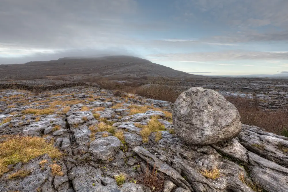 Boulder-burial in Derreen (muskerry West By., Drishane Par.)Boulder-burial · 262 yd
 IndicatedKiln, lime · 310 yd
 Ballydaly Church (in Ruins)Church · 1295 yd
 Childrens Burial GroundBurial ground · 1299 yd
 Claragh MountainMountain / peak · 1.1 mi
 Wildlife of the UplandsVisitor information · 1.6 mi
 Birds of DuhallowVisitor information · 1.8 mi
 CurracahillMountain / peak · 1.9 mi
 Millstreet Museum & Tourist Information CentreMuseum · 2.0 mi
 RowanRowan · 2.1 mi
 Kilmeedy CastleCastle, tower house · 2.3 mi
 Dromsicane Castle (in Ruins)Bawn · 2.8 mi