What is recorded here
Doneraile demesne holds a forty-two metre circular scar on a west-facing slope, marked by a low earth bank and shallow ditch. Conifers now crowd the enclosure, hiding most of the ancient line except a clear gap to the southwest. The shape suggests humans lived or marked boundary there before trees claimed the field, yet no name or date remains attached to the trouble they caused or the life they led.
Within Doneraile demesne, below crest of hill, on W-facing slope. Roughly circular area (42m N-S) enclosed by scarp (H 0.8m), with slight internal lip to SW; external fosse (D 0.15m). OPW (14.10.1977) noted modern drain cutting off fosse to E . Enclosure planted with mature conifers except to SW.
The above description is derived from the published 'Archaeological Inventory of County Cork. Volume 4: North Cork' (Dublin: Stationery Office, 2000). In certain instances the entries have been revised and updated in the light of recent research.
Date of upload/revision: 14 January 2009
The monument record does not grant public access. Check the route and ask the landowner before entering private land.
- What survives
- Recorded monument
Places near here
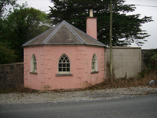 Kilbrack HouseOfficially recorded historic building · 363 yd
 Burnt mound in SkaghardgannonBurnt mound · 457 yd
 Enclosure in Demesne (fermoy By.)Enclosure · 598 yd
 Sweet ChestnutSweet Chestnut · 804 yd
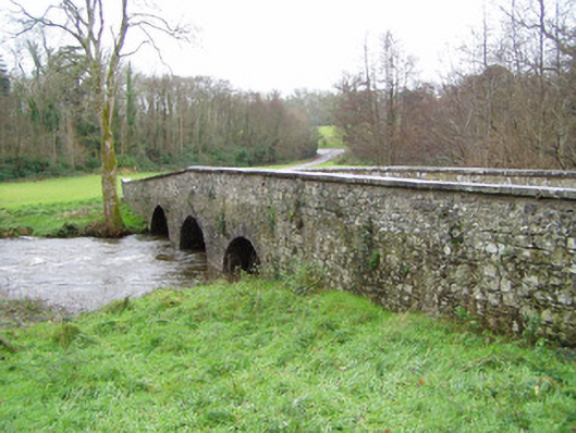 Doneraile Courtbridge · 812 yd
 Laurentinumgates/railings/walls, gate lodge · 846 yd
 Pedunculate OakPedunculate Oak · 968 yd
 Doneraile Castle (Site of)Castle, unclassified · 1054 yd
 Doneraile HouseHeritage attraction · 1248 yd
 Smith's WellSpring · 1610 yd
 Caherduggan Castle (Site of)Castle, unclassified · 3.1 mi
 CarrigeenamronetyMountain / peak · 7.5 mi