
What is recorded here
In tillage, on a gentle ENE-facing slope. A circular spread (c. 24m N-S; c. 24m E-W) of heat-shattered stones and charcoal-enriched soil.
The above description is derived from 'The Archaeological Inventory of County Cork. Volume 5' (Dublin: Stationery Office, 2009).
Date of upload: 22 December 2009
Burnt mound, likely dating to the Neolithic or early Bronze Age. It represents a domestic or ritual site where heat was applied to stones, possibly for cooking, water heating, or ceremonial purposes.
The monument record does not grant public access. Check the route and ask the landowner before entering private land.
- What survives
- Recorded monument
Places near here
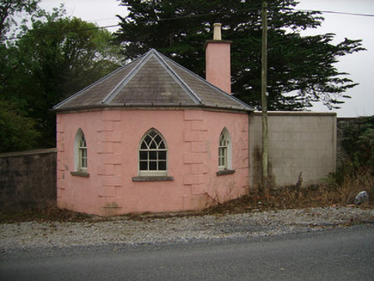 Kilbrack HouseOfficially recorded historic building · 151 yd
 Laurentinumgates/railings/walls, gate lodge · 476 yd
 Enclosure in SycamoreEnclosure · 586 yd
 IndicatedEnclosure · 993 yd
 Sweet ChestnutSweet Chestnut · 1251 yd
 Pedunculate OakPedunculate Oak · 1318 yd
 Doneraile Castle (Site of)Castle, unclassified · 1481 yd
 Doneraile HouseHeritage attraction · 1703 yd
 Smith's WellSpring · 1.1 mi
 Caherduggan Castle (Site of)Castle, unclassified · 3.3 mi
 Anne's Grove GardensHeritage attraction · 4.6 mi
 Coolfree MountainMountain / peak · 6.1 mi
Other information
Photo: Credit not shown in the picture search · Rights wording not checked; contact us if this picture should be removed