What is recorded here
Deerpark holds a vanished fort where a shallow scarp still hints at a thirty-five metre circle. Men built or claimed the ring on an east-facing slope, but pasture and time have grazed the entrance and most of the bank away. The fairies may have taken what the weather left behind, dragging the fort back into the hill to keep it from ordinary memory.
On a low rise on an E-facing slope in pasture. Depicted as a circular enclosure with the designation 'Fort' on the 1887 revised ed. of the OS 6-inch map. A report in 1987 (SMR file) recorded a largely levelled, slightly raised circular area (diam. c. 35m) defined by an apparently natural scarp with a wide, shallow, external fosse. The original entrance was not recognisable. At the centre of the interior was an area of outcropping rock. Further levelling has since occurred and only the outline of the rath, marked by a low scarp (max. H 0.2m) from S-W-NNE, is identifiable.
Compiled by: Patrick F. O'Donovan
Date of upload: 5 December 2011
The monument record does not grant public access. Check the route and ask the landowner before entering private land.
- What survives
- Recorded monument
Places near here
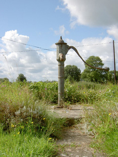 water pumpwater pump · 291 yd
 IndicatedHouse, indeterminate date · 543 yd
 Field system in Deerpark (shrule By.)Field system · 614 yd
 Hachured fortFairy fort / earthen ringfort · 1349 yd
 European BeechEuropean Beech · 1.0 mi
 CastleCastle, motte · 1.7 mi
 Not locatedCastle, unclassified · 1.9 mi
 Pedunculate OakPedunculate Oak · 1.9 mi
 Abbeyshrule AbbeyRuins · 2.2 mi
 Goldsmith Birthplace, PallasVisitor information · 3.4 mi
 Newcastle WoodsForest · 3.9 mi
 Guest ServicesVisitor information · 4.1 mi