What is recorded here
Fairy fort / earthen ringfort in Deerpark (Carrick parish) is a fairy fort or earthen ringfort in Deerpark (Carrick parish), County Tipperary, Ireland. It stands on a ridge sloping gently south to the Suir river valley, enclosed by an earthen bank at least 1.2 metres high that slopes gently inward. The site is densely overgrown with scrub, fenced off with electric fencing and cut through by two field boundaries: one running north-south through the west quadrant and the other running east-west across the monument. The remains west of the north-south boundary are not visible above ground level.
On a ridge sloping gently to S to Suir river valley, surrounded by pasture. The ringfort is very densely overgrown with scrub and has been fenced off with electric fencing. It is transected by two field boundaries, one running N-S through W quadrant and the other running E-W bisecting the monument. The remains of the ringfort W of the N-S field boundary are not visible above ground level. The ringfort (diam. c. 27m-30m) is enclosed by an earthen bank (H above ext. at least 1.2m) which slopes gently to interior. There is no visible external fosse but the base of the bank is heavily overgrown.
Compiled by: Jean Farrelly
Date of upload: 26 August 2011
The monument record does not grant public access. Check the route and ask the landowner before entering private land.
- What survives
- Recorded monument
Places near here
 Coolnamuck Courtfolly · 801 yd
 Burnt mound in Coolnamuck DemesneBurnt mound · 886 yd
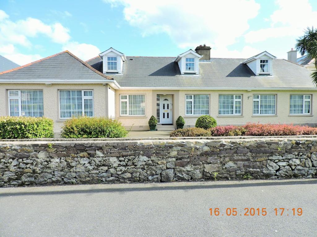 St Anthonys WellHoly well · 921 yd
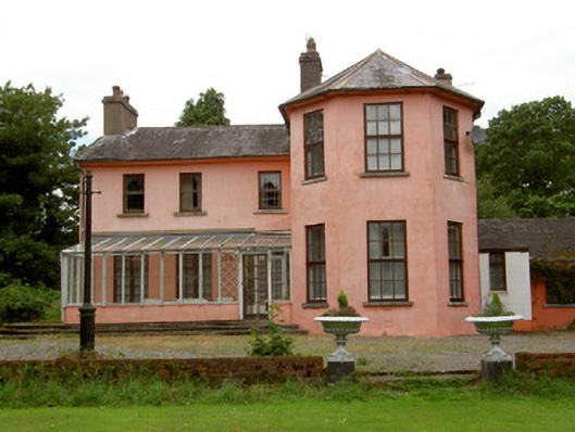 Deerpark Lodgehouse · 1468 yd
 Coolnamuck Castke (in Ruins)Castle, tower house · 1.1 mi
 Coolnamuck Wood WestForest · 1.6 mi
 Thomas KielyMemorial · 1.7 mi
 Ormonde CastleHeritage attraction · 1.8 mi
 CastleCastle, Anglo-Norman masonry castle · 1.8 mi
 Churchtown WoodForest · 2.4 mi
 CarrigfenoaghMountain / peak · 2.9 mi
 Curraghdobbin HillMountain / peak · 3.6 mi