What is recorded here
On gentle S-facing slope of ridge along Suir River valley, in pasture. Though this monument has been ploughed out to some extent it is still visible as an oval area (diam. 38.5m N-S; 43.3m E-W) enclosed by a broad, flattened bank (Wth c. 6m; ext. H 0.37m) and wide, shallow, outer fosse (Wth c. 3m; D 0.15m). The bank in the S quadrant is particularly denuded, used as access for machinery, may have been location of original entrance. Hedgerow runs N-S along E bank of ringfort, the bank has been subjected to cattle erosion in this sector.
Compiled by: Jean Farrelly
Date of upload: 26 August 2011
The monument record does not grant public access. Check the route and ask the landowner before entering private land.
- What survives
- Recorded monument
Places near here
 Burnt mound in Coolnamuck DemesneBurnt mound · 840 yd
 Coolnamuck Courtfolly · 845 yd
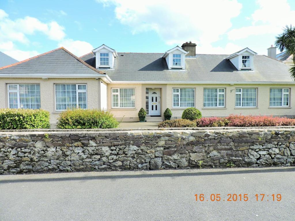 St Anthonys WellHoly well · 891 yd
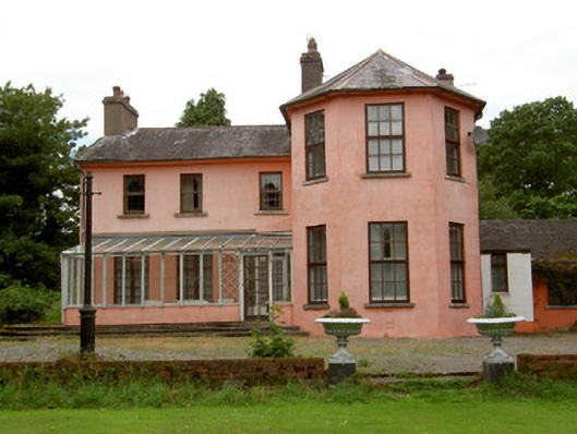 Deerpark Lodgehouse · 1678 yd
 Coolnamuck Castke (in Ruins)Castle, tower house · 1735 yd
 Coolnamuck Wood WestForest · 1.5 mi
 Thomas KielyMemorial · 1.6 mi
 Castle (in ruins)Castle, tower house · 1.7 mi
 Ormonde CastleHeritage attraction · 1.9 mi
 Churchtown WoodForest · 2.3 mi
 CarrigfenoaghMountain / peak · 3.0 mi
 Curraghdobbin HillMountain / peak · 3.6 mi