What is recorded here
Fairy fort in Currygrane, County Longford: a 65-metre oval ridge-top enclosure with a broad earth-and-stone bank, a shallow fosse on one side, and no visible entrance. Cattle graze around it now, but the shape still reads as a boundary made by people, not a mound dropped from heaven. Whatever doorway once cut through that bank has vanished under grass, soil and time, leaving the fort both complete and closed.
In pasture, straddling the top and upper E slope of a NNW-SSE ridge. A raised oval area (c. 65m NW-SE; c. 52m NE-SW) enclosed from SW-N-ESE by a wide low bank of earth and stone (Wth 4.6-7m; H 0.3-0.8m) and defined elsewhere by a scarp (H 1.5m). A shallow fosse (Wth 4.6-7m; D 0.2-0.5m) survives from SSE-S-NW. The original entrance is not recognisable.
Compiled by: Patrick F. O'Donovan
Date of upload: 5 December 2011
The monument record does not grant public access. Check the route and ask the landowner before entering private land.
- What survives
- Recorded monument
Places near here
 Round IslandCrannog · 763 yd
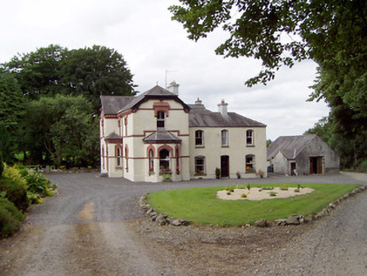 Corbeagh Househouse · 804 yd
 Frys IslandCrannog · 935 yd
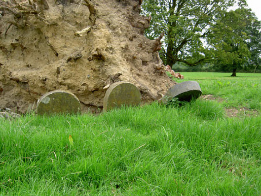 Currygrane Housepet cemetery · 1017 yd
 Moat & CastleCastle, motte and bailey · 1.5 mi
 Ballinalee Forest WalkForest · 1.6 mi
 Bawn in CurrycahillBawn · 1.9 mi
 Bully's Acregraveyard/cemetery, unknown · 1.9 mi
 Clonfin Ambush MemorialMemorial · 2.9 mi
 Cloonfin WoodForest · 3.1 mi
 Edgeworthstown BypassMemorial · 4.2 mi
 Granard MotteMotte-and-bailey castle remains · 6.5 mi