What is recorded here
Fairy fort in Cummeenboy: a 38m earthen ring on a low hill above the valley, with a raised centre and a hidden underground passage. Cattle have worn breaks through the bank and farm roads cut across one side, yet the circle still reads as a place set apart. People may have lived there before becoming pasture, leaving behind a shape the land still remembers.
In pasture, at the summit of a low hill, on the E side of the valley of the Cummeenboy stream. A roughly circular area (38m E-W; 34m N-S) defined by an earthen bank and an external fosse. The bank (Wth 4.15m; int. H 0.6m; ext. H 2.1m) is visible WSW-E. A scarp occurs E-WSW where the remainder of the bank has been removed to accommodate farm roads at SW and SE. There are several small cattle-breaks through the bank. A fosse (Wth 1.3m), which is visible WSW-E, widens (Wth 1.8m) towards the NE. The interior is raised above the external ground level. There is a Man-made underground passage (KE084-020001-) in the centre of the interior.
The above description is derived from the published 'Archaeological Inventory of County Kerry. Volume I: South-West Kerry' (Dublin: Stationery Office, 2009). In certain instances the entries have been revised and updated in the light of recent research.
Date of upload: 30 May 2011
This remains an important historical record, but the official description says the monument is no longer visible or has been destroyed. The monument record does not grant public access. Check the route and ask the landowner before entering private land.
- What survives
- No visible remains or recorded as destroyed
Places near here
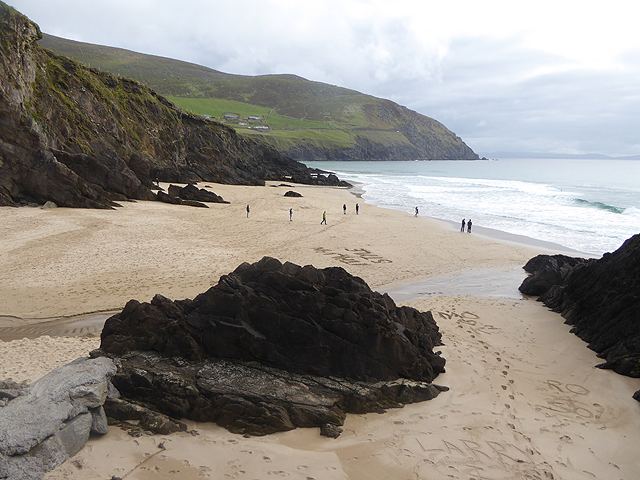 Man-made underground passage in CummeenboyMan-made underground passage · 1 yd
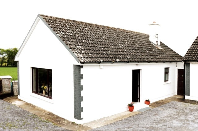 Hut site in CummeenboyHut site · 538 yd
 CoombaneMountain / peak · 1.0 mi
 KnockanaguishMountain / peak · 1.4 mi
 Shanagarry Castle (Site of)Castle, unclassified · 1.7 mi
 Lead Mine (Disused).Mine, lead · 1.8 mi
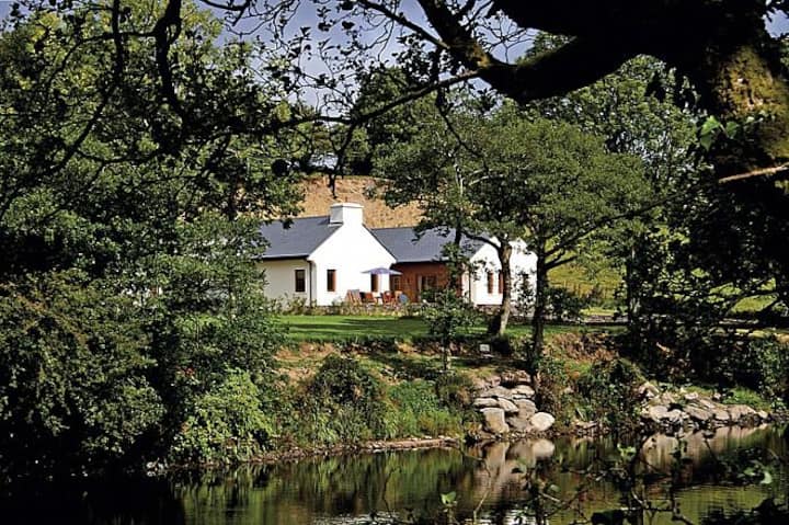 Roughty LodgeCountry house · 2.2 mi
 CastleCastle, unclassified · 2.5 mi
 The Lodge WoodWood · 2.8 mi
 Kenmare Tourist Information OfficeVisitor information · 2.9 mi
 Monterey CypressMonterey Cypress · 2.9 mi
 Kenmare Heritage Town - Main StreetMemorial · 2.9 mi