What is recorded here
Fairy fort in Culloge, County Longford: a 31.8 m circular earthwork on a pasture hillock, with a low stone-and-earth bank, shallow outer ditch, and a possible entrance break at the east-north-east. The shape is small enough to walk around quickly, yet old enough to belong before written memory. Cattle may have grazed beside it for generations while people called it a fairy fort, giving the dead or forgotten a name that still works.
On a hillock in pasture. A raised circular area (diam. 31.8m) enclosed by a partially denuded low bank of earth and stone (Wth 4.5m; H 0.9m max.) with a shallow external fosse (Wth 3.7m; D 0.2m). From NNE-E-ESE the fosse has been modified where it is bordered by a modern NW-SE field bank and drain. A break (Wth 2.9m) in the bank at ENE with traces of a possible accompanying causeway may mark the original entrance.
Compiled by: Patrick F. O'Donovan
Date of upload: 26 August 2011
The monument record does not grant public access. Check the route and ask the landowner before entering private land.
- What survives
- Recorded monument
Places near here
 Bull RingFairy fort / earthen ringfort · 1752 yd
 Enclosure in LisnagrishEnclosure · 1.1 mi
 MoatawardCastle, motte and bailey · 1.1 mi
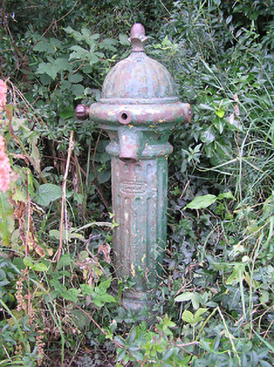 water pumpwater pump · 1.3 mi
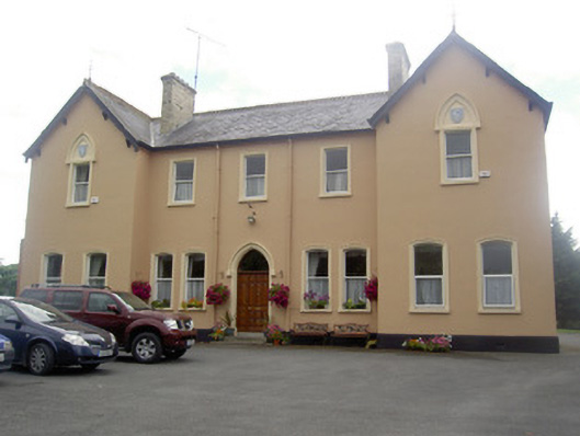 Saint Elizabeth's Conventconvent/nunnery · 1.4 mi
 Edgeworthstown BypassMemorial · 1.8 mi
 RuinsCastle, unclassified · 2.5 mi
 Silver FirSilver Fir · 2.7 mi
 Sweet ChestnutSweet Chestnut · 3.8 mi
 Clonfin Ambush MemorialMemorial · 4.4 mi
 Granard MotteMotte-and-bailey castle remains · 6.0 mi
 1798 Monumentmonument · 6.1 mi