What is recorded here
Culleenmore is an earthen ringfort in County Longford, Ireland, where a swollen bank and curved drain still mark an oval home or refuge. Rams may have trod the rush-grown pasture while children dodged brambles, and the fairies kept their fort hidden in plain sight.
In level, poorly drained, rush-grown pasture, in the NE corner of a rectangular field at the junction of several modern field fences. Oval area (26m NW–SE; c. 18m NE–SW) enclosed by an earthen bank (Wth c. 3m; int. H 1m; ext. H c. 2m at S) adapted to serve as a field boundary from NW–SE. Outside the bank from SE–W there is a field drain (Wth 1.7m; ext. D 0.6–0.7m) which respects the curve of the rath. It is possible that this utilises an existing fosse but no trace of the latter is evident elsewhere around the circuit. The bank at E is noticeably more substantial (Wth 3.5–4m; int. H 1m; ext. H 1.4m) because soil scarped from the area immediately to the E of the rath was heaped on top during land reclamation in recent years. Field-clearance debris appears also to have been added to the bank at N. The interior is level. The bank is almost entirely engulfed in brambles and ringed by hawthorn bushes.
Compiled by: Jane O’Shaughnessy
Date of upload: 9 January 2013
The monument record does not grant public access. Check the route and ask the landowner before entering private land.
- What survives
- Recorded monument
Places near here
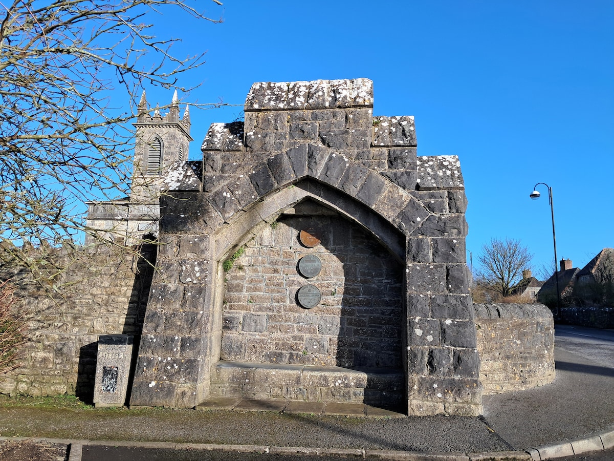 Enclosure in Cloonagh (granard By.)Enclosure · 1237 yd
 Ritual siteRitual site, holy tree/bush · 1550 yd
 ToomeMountain / peak · 1673 yd
 St. Columbas R.C. ChurchChurch · 1.0 mi
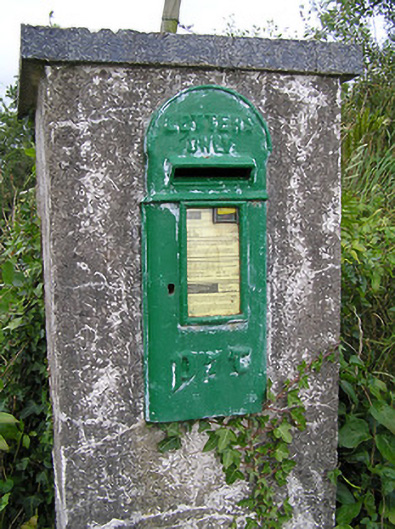 post boxpost box · 1.0 mi
 CartronfreeMountain / peak · 1.8 mi
 Derrycassan WoodsWood · 1.9 mi
 IdicatedCastle, unclassified · 2.1 mi
 Cornamucklagh WoodlandWood · 2.4 mi
 InchmoreIslet · 2.9 mi
 Scrabby IslandIslet · 3.2 mi
 Cloone Ho.Castle, unclassified · 3.3 mi