What is recorded here
Situated at the base of the N facing slope of a steep hill in grassland. Depicted on the 1837 OS Fair Plan map as a circular-shaped enclosure and annotated as a ‘fort’. Ringfort (WM012-019---) 90m to S. This site has been levelled and is visible as a circular patch of vegetation (approx. diam. 35m N-S). The interior slopes from SW to NE and has traces of cultivation ridges aligned E-W. The levelled monument is now bisected by a modern field fence running NE-SW. Visible as a cropmark on Digital Globe aerial photographs taken November 2011.
Compiled by: Frank Coyne and Caimin O'Brien
Date of upload: 15 November 2017
A fairy fort or earthen ringfort in Culleenabohoge, likely dating to the early medieval period, is depicted on the 1837 OS Fair Plan as a circular enclosure annotated as a 'fort'. Local tradition associates such sites with fairy folklore, reflecting their mystical and sacred status in Irish cultural history.
The monument record does not grant public access. Check the route and ask the landowner before entering private land.
- What survives
- Recorded monument
Places near here
 OutlinedFairy fort / earthen ringfort · 906 yd
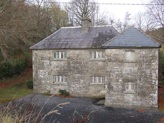 RIC barracksRIC barracks · 926 yd
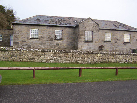 Ballynafid National Schoolschool · 1087 yd
 TobermichaelHoly well · 1184 yd
 CastleCastle, unclassified · 1.4 mi
 Bridge Memorial (Kenna)Memorial · 1.7 mi
 Scragh Bog Nature ReserveNature reserve · 1.9 mi
 Church IslandIsland · 2.5 mi
 Carrickphilbin IslandIslet · 2.8 mi
 Carrick CastleCastle · 2.9 mi
 Lady's IslandWood · 3.1 mi
 KnockeyonMountain / peak · 3.7 mi