
What is recorded here
Situated on rising ground in grassland that has been planted with trees. Railway line 240m to W. Ringfort (WM011-070---) 200m to NNW. Clanhugh Demesne 270m to S with gate lodge 290m to SSE. Depicted as a tree-ring and not as an antiquity on the 1837 ed. OS 6-inch map with similar tree-ring 140m to S. Possible ringfort that was re-used as a tree-ring in the post 1700 period. Alternatively the earthwork may have been built as a tree-ring in the post 1700 period. A sub-circular shaped area (approx. diam. 46m NW-SE; 50m NE-SW) enclosed by a wide low earthen bank and external fosse. The steep sides of the fosse suggest that it has been re-dug in modern times possibly when the site was landscaped as a tree-ring. The interior slopes from NE-SW and contains spruce trees planted in the 19th century. A field fence running NNE-SSW intersects the monument at NE.
See attached profile of monument surveyed and drawn by the ASI.
Compiled by: Frank Coyne and Caimin O'Brien
Date of upload: 24 August 2017
The monument record does not grant public access. Check the route and ask the landowner before entering private land.
- What survives
- Recorded monument
Places near here
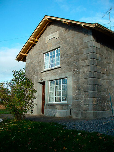 Clonhugh Railway Stationrailway station · 374 yd
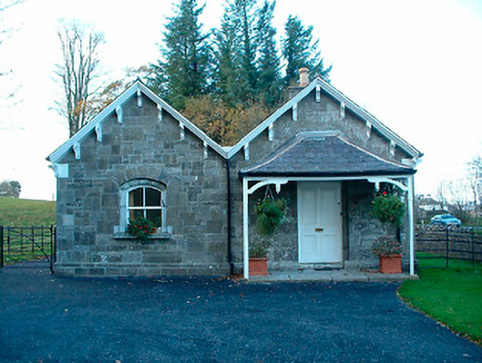 Clonhugh Housegate lodge · 496 yd
 IndicatedFairy fort / earthen ringfort · 1410 yd
 Sweathouse in Clanhugh DemesneSweathouse · 1442 yd
 CastleCastle, motte · 1.0 mi
 Bridge Memorial (Kenna)Memorial · 1.8 mi
 Scragh Bog Nature ReserveNature reserve · 2.0 mi
 Church IslandIsland · 2.4 mi
 Castle Quarter, Castle (in ruins)Castle, unclassified · 2.5 mi
 Carrickphilbin IslandIslet · 2.5 mi
 Lady's IslandWood · 3.0 mi
 Saint Brigid's WellSpring · 3.9 mi
Other information
Photo: Credit not shown in the picture search · Rights wording not checked; contact us if this picture should be removed