What is recorded here
Situated on a small steep hillock, in gently undulating, rough pasture. Depicted on the 1837 ed. OS 6-inch map as a circular-shaped earthwork. Monument described in 1970 as a roughly circular-shaped area (diam. 36m) enclosed by a bank, intervening fosse with traces of an outer bank. A gap (Wth at top 7m; basal Wth 3.8m) at E may represent the entrance, although there is no definite trace of a causeway. The fosse and outer bank have been removed either side of this. The enclosing inner bank is high and steep and the intervening fosse (Wth at top 3.9m; basal Wth 2m; D 0.35m) is wide and deep with a flat base. There are very slight traces of an outer bank (Wth 2.3m; H 0.5m) which is almost indistinguishable from the surrounding hillslope. The western half of the interior is occupied by a modern hay barn. The remains of a partially quarried, semi-circular annexe adjoins the outer bank at N. Monument is visible on Digital Globe aerial photography as a tree-planted earthwork.
See attached rough sketch plan of monument surveyed and drawn by the ASI in 1972
Compiled by: Alison McQueen, Vera Rahilly and Caimin O’Brien
Date of upload: 03 April 2019
The monument record does not grant public access. Check the route and ask the landowner before entering private land.
- What survives
- Recorded monument
Places near here
 Ecclesiastical enclosure in Culleen MoreEcclesiastical enclosure · 1300 yd
 Saint Brigid's WellSpring · 1357 yd
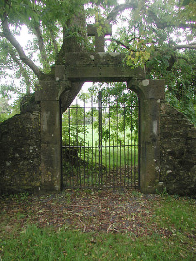 graveyard/cemeterygraveyard/cemetery · 1382 yd
 Crannog in Culleen BegCrannog · 1510 yd
 Castle (in Ruins)Castle, tower house · 1604 yd
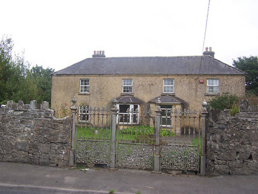 Ballyglassgates/railings/walls · 1731 yd
 United Nations War MemorialMemorial · 1751 yd
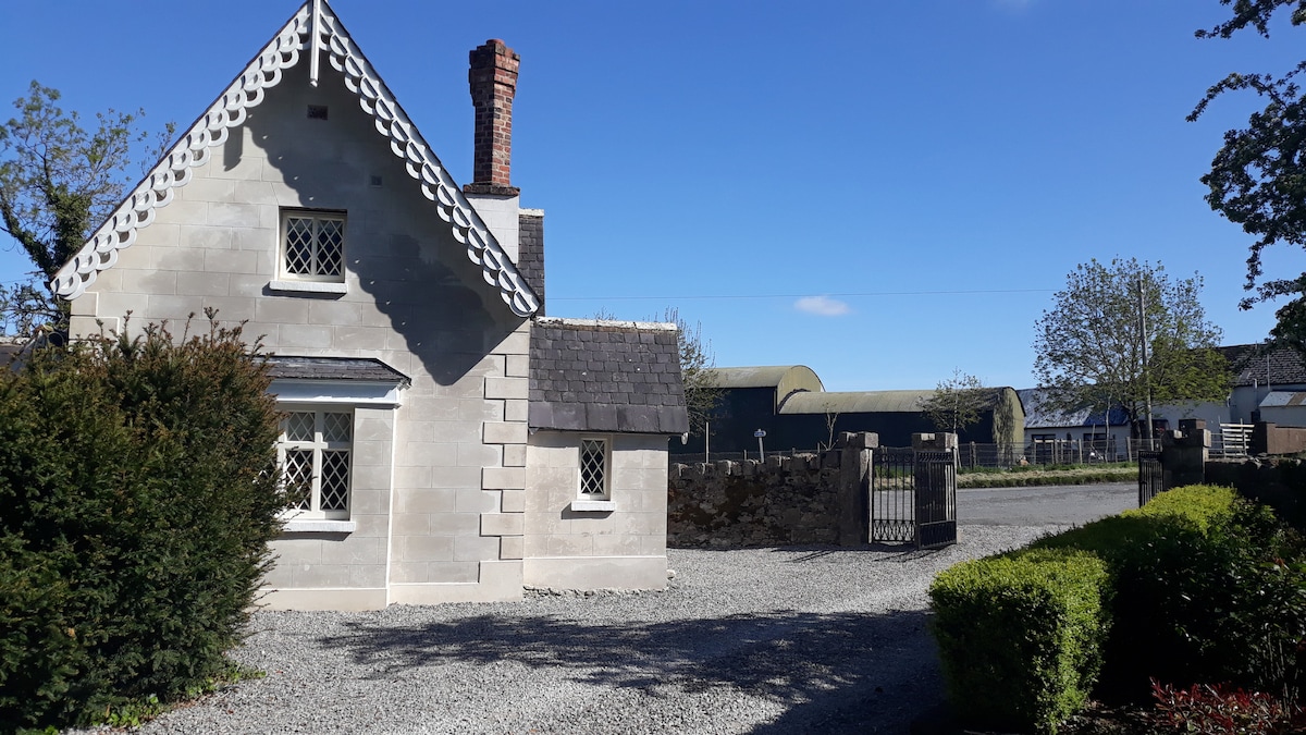 IndicatedCastle, tower house · 1.2 mi
 Long PlantingForest · 1.4 mi
 Mullingar Cathedral MuseumMuseum · 1.5 mi
 Augustinian Monks Memorial StatueMemorial · 1.6 mi
 The Chimera GalleryGallery · 1.7 mi