What is recorded here
Situated on natural rise of ground overlooking River Brosna 17m to S and St. Bridget's holy well (WM019-035----) 30m to W. The curving nature of the enclosing wall of Kilbride graveyard (WM019-036----) boundary possibly indicates the presence of an Early Christian ecclesiastical enclosure (Swan 1988, 24). No clear evidence for the existence of an Early Christian enclosure surrounding Kilbride graveyard (WM019-036----). Compiled and revised by: Caimin O’Brien
Date of revised upload: 05 March 2019
Situated on natural rise of ground overlooking River Brosna 17m to S and St. Bridget's holy well (WM019-035----) 30m to W. The curving nature of the enclosing wall of Kilbride graveyard (WM019-036----) boundary possibly indicates the presence of an Early Christian ecclesiastical enclosure (Swan 1988, 24). No clear evidence for the existence of an Early Christian enclosure surrounding Kilbride graveyard…
From the National Monuments Service (Archaeological Survey of Ireland) record WM019-036001
The monument record does not grant public access. Check the route and ask the landowner before entering private land.
- What survives
- Recorded monument
Places near here
Photo credits
- Bridget Neville, Wikimedia Commons · CC BY-SA 4.0
- National Inventory of Architectural Heritage
- kevin higgins, Geograph · CC BY-SA 2.0
- Copper1993, Wikimedia Commons · CC BY-SA 4.0
- Brian Shaw, Geograph · CC BY-SA 2.0
- Aerobug/Grace, Wikimedia Commons · CC BY-SA 4.0
- fr:Gavigan:Knockdrin_a.jpg/Knockdrin_a.jpg, Wikimedia Commons · GFDL
 Saint Brigid's WellSpring · 58 ydCastle (in Ruins)Castle, tower house · 372 ydOutlinedFairy fort / earthen ringfort · 406 yd
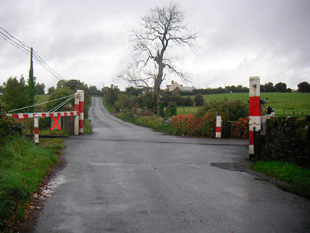 level crossing609 yd
 Levington ParkGate lodge · 799 ydLady's IslandWood · 1.1 miMullingar Cathedral MuseumMuseum · 1.5 mi
 Church IslandIsland · 1.6 mi
 Courthouse in MullingarCourthouse · 1.7 mi
 Famine MemorialMemorial · 1.7 mi
 Augustinian Monks Memorial StatueMemorial · 1.7 mi
 Knockdrin CastleCastle · 2.3 mi
More archaeology and monuments in County Westmeath · All of County Westmeath
What do you know about this place?