What is recorded here
Situated on top of a natural rise of ground in an upland area with extensive views. A raised circular area (diam. 35m E-W) enclosed by an earth and stone bank (Wth 2m; int. H 0.4m; ext. H 0.7m) with a possible entrance gap (Wth 1.2m) at S. There is good evidence of stone revetment along the inner face of the bank at W.
The above description is derived from 'The Archaeological Inventory of County Tipperary. Vol. 1 - North Tipperary' compiled by Jean Farrelly and Caimin O'Brien (Dublin: Stationery Office, 2002). In certain instances the entries have been revised and updated in the light of recent research.
Date of upload/revision: 22 September 2008
The monument record does not grant public access. Check the route and ask the landowner before entering private land.
- What survives
- Recorded monument
Places near here
 Enclosure in LissernaneEnclosure · 902 yd
 Concentric enclosure in LisballyardConcentric enclosure · 1246 yd
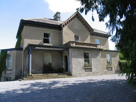 Somerset Househouse · 1377 yd
 Roden Househouse · 1635 yd
 Lackeen castle (in ruins)Castle, tower house · 1.1 mi
 Lumcloon WoodWood · 1.8 mi
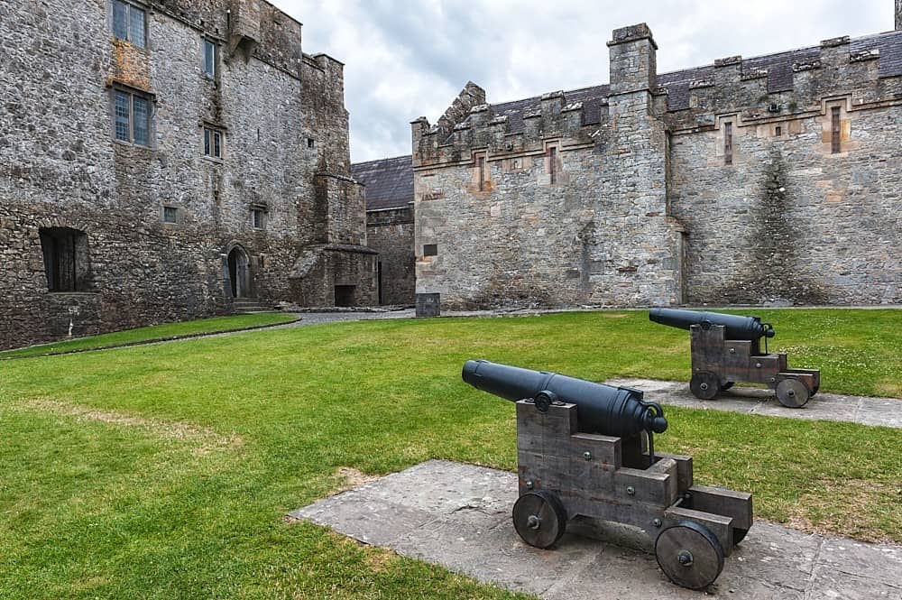 Castle, Kilcarren Ho.Castle, unclassified · 2.1 mi
 Cregg WoodForest · 4.5 mi
 Friars IslandIsland · 5.1 mi
 Portland IslandIsland · 5.1 mi
 All Saints' WellSpring · 5.6 mi
 Banagher MarinaHeritage attraction · 7.2 mi