What is recorded here
Thirty metres of grass and shadow mark the fairy fort in Crossdrum Lower, where a vanished earthen bank still casts a thin line across the field. The site preserves a human boundary, likely an entrance at the south-east and a standing stone to the north, yet the earth has softened the edges until the fort becomes a rumour. It is not a palace or a temple, but a small defended life lived openly on a rise, recorded in the county inventory and still visible beneath the grass.
Located on a rise in an undulating low-lying landscape. This is a subcircular grass-covered area (dims 27m N-S; 24m E-W) defined by a slight earthen bank (at NE: Wth of base 4m; int. H 0.1m; ext. H 0.9m) largely reduced to a scarp (at SW: Wth 2.5m; H 1.4m) and an outer fosse (at SW: Wth of top 5.5m; Wth of base 2m; ext. D 0.2m) that is largely reduced to a berm (at NE: Wth 3m) defined by a scarp (at NE: Wth 3m; H 0.4m). The original entrance is probably at SSE where the perimeter is defaced. The possible standing stone (ME008-017001-) is c. 3m to the N.
The above description is derived from the published 'Archaeological Inventory of County Meath' (Dublin: Stationery Office, 1987). In certain instances the entries have been revised and updated in the light of recent research.
Compiled by: Michael Moore
Date of revision: 31 October 2018
The monument record does not grant public access. Check the route and ask the landowner before entering private land.
- What survives
- Recorded monument
Places near here
 CastleCastle, unclassified · 610 yd
 Church (in Ruins)Church · 1171 yd
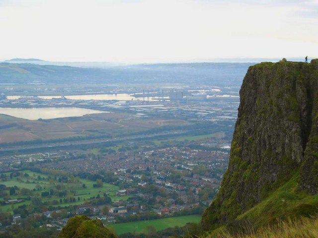 Cave FortFairy fort / earthen ringfort · 1200 yd
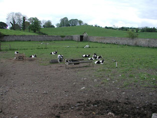 Crossdrum Housewalled garden · 1560 yd
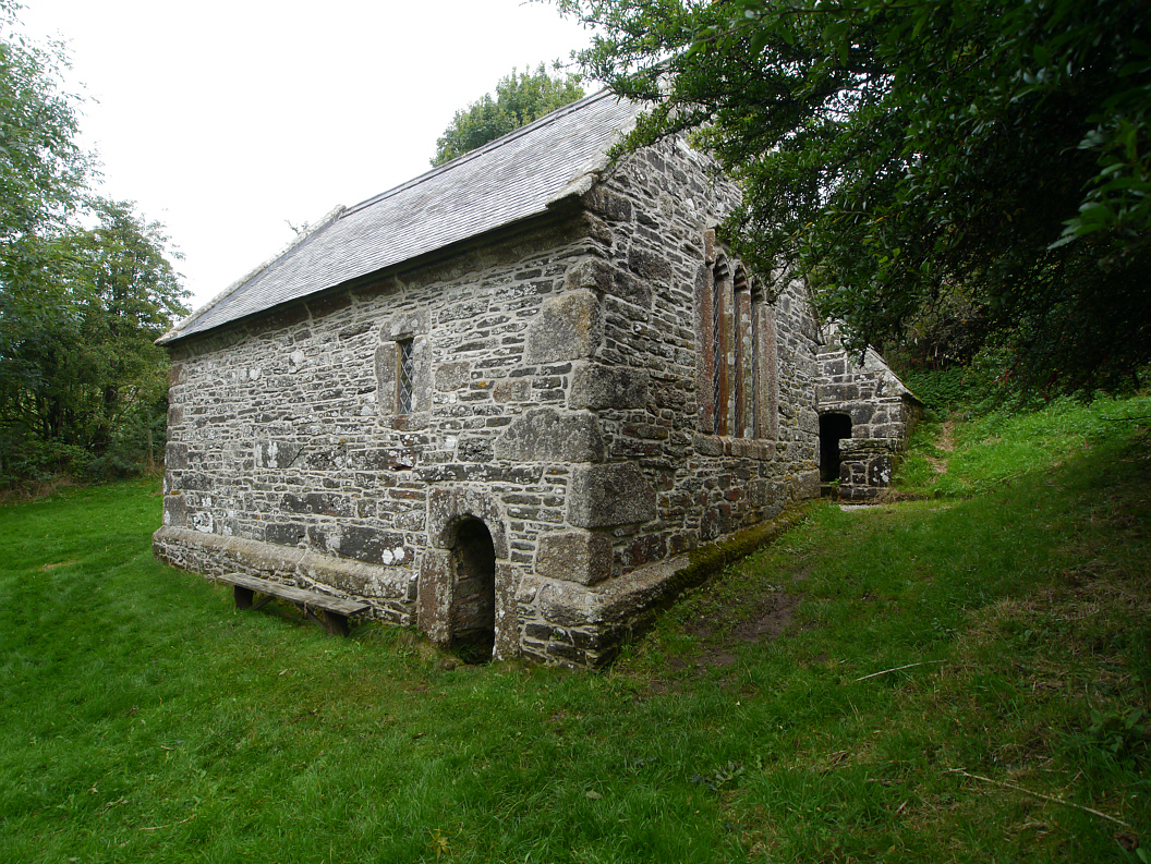 Holy WellHoly well · 1742 yd
 Mount FortuneMountain / peak · 1.1 mi
 European BeechEuropean Beech · 1.2 mi
 Memorial CrossMemorial · 1.3 mi
 The MoatCastle, motte and bailey · 1.5 mi
 Fennor LowerMountain / peak · 1.7 mi
 C11Named rock · 3.1 mi
 Zip WireHeritage attraction · 3.2 mi