What is recorded here
Fairy forts are human places misnamed by wonder. In Crossakeel, a shallow earthen ring still marks the hillside, perhaps a farmstead, shelter or boundary marker from before written records. People may have lived there, herded animals or simply owned a small piece of earth. The fairy name does not erase them; it shows that the place still feels removed from ordinary time.
Located towards the bottom of the SW-facing slope of Crossakeel Hill. It is depicted as an oval embanked enclosure (ext. dims c. 55m NE-SW; c. 45m NW-SE) on the 1836 edition of the OS 6-inch map where it is described as a ‘Fort’ and as a circular hachured feature on the 1912 edition. A scarp (H 0.4m) survives N-E-SSW (diam. 35.4m) around a grass-covered area but melds into the ground elsewhere.
The above description is derived from the published 'Archaeological Inventory of County Meath' (Dublin: Stationery Office, 1987). In certain instances the entries have been revised and updated in the light of recent research.
Compiled by: Michael Moore
Date of revision: 26 February 2019
The monument record does not grant public access. Check the route and ask the landowner before entering private land.
- What survives
- Recorded monument
Places near here
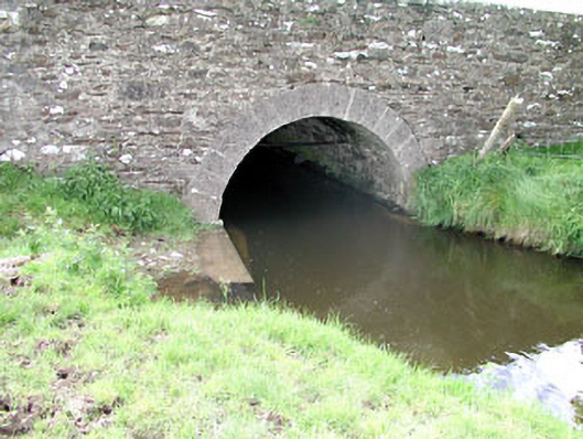 Martinstown Bridgebridge · 379 yd
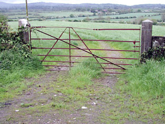 gates/railings/wallsgates/railings/walls · 599 yd
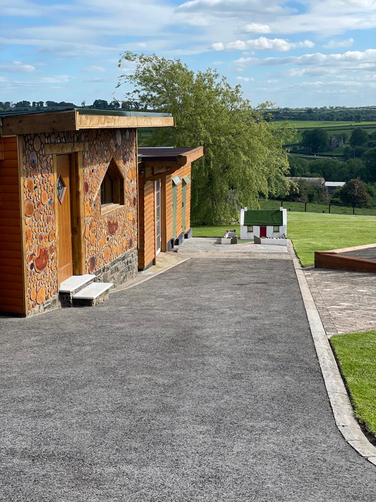 Enclosure in GibbonstownEnclosure · 1.2 mi
 IndicatedHoly well · 1.7 mi
 Round TowerCastle, tower house · 1.8 mi
 Largan WoodWood · 2.0 mi
 Moat of DiamorCastle, motte and bailey · 2.0 mi
 Sylvan Park WoodsForest · 2.6 mi
 Oliver Plunkett memorialMemorial · 3.7 mi
 Kells HillMountain / peak · 3.7 mi
 CloncatMountain / peak · 3.8 mi
 Loughcrew Megalithic TombsHeritage attraction · 4.2 mi