What is recorded here
Creggymulgreny holds an oval earthen fort twenty-six and a half metres long, its stone-and-dirt bank still drawing a visible line though grass and forgotten rubble have swallowed much of the interior. It stands eighty metres from another rath, suggesting a small cluster of lived places rather than a lonely marker. People may have built, defended, abandoned and partially buried the fort before it became a fairy story, but the earth still keeps the shape of their labour.
Some 80m to the NE of a rath (GA104-125----). Classified by McCaffrey (1952, 228, no. 89) as a very ruinous ‘Earthen fort’. The monument, oval in plan (26.5m E-W; 15.8m N-S), is defined by a bank of earth and stone. Field-clearance rubble has been piled in the heavily overgrown N
sector of the interior.
Compiled by: Galway Archaeological Survey, UCG
Date of upload: 27 February 2019
The monument record does not grant public access. Check the route and ask the landowner before entering private land.
- What survives
- Recorded monument
Places near here
 Cregg Castle (in ruins)Castle, tower house · 424 yd
 CaveMan-made underground passage · 814 yd
 Man-made underground passageMan-made underground passage · 857 yd
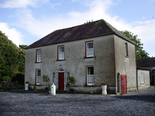 Carheen Househouse · 921 yd
 Killogilleen Church (in ruins)Church · 1130 yd
 Bawn in Deerpark (kilchreest Ed)Bawn · 1.4 mi
 Blake's IslandIslet · 4.8 mi
 Ash IslandIslet · 4.9 mi
 Scalpeen RockNamed rock · 5.4 mi
 HawthornHawthorn · 6.2 mi
 European ashEuropean ash · 6.2 mi
 Drumacoo Monastic SiteHeritage attraction · 8.4 mi