
What is recorded here
Within the NE quadrant of a rath (GA104-059----). When initially inspected in April 1983 access to this drystone-built Man-made underground passage (L 6.9m; H 1.65m), which runs NNW-SSE, was gained at the SSE end. The width of the passage varied from 1m at the entrance to 2.2m at the mid-point to 0.6m at the end-wall. Stone-facing (L 1.8m) visible beyond the access point suggested that the Man-made underground passage extended further to SSE. A well had been dug some 2.3m inside the passage. When revisited in October 2001 the entrance was partially blocked with timber to prevent livestock from falling into the Man-made underground passage and a sloe bush was growing over it. (McCaffrey 1952, 217, no. 147)
Compiled by: Galway Archaeological Survey, UCG
Date of upload: 6 January 2017
The monument record does not grant public access. Check the route and ask the landowner before entering private land.
- What survives
- Recorded monument
Places near here
 CaveMan-made underground passage · 627 yd
 Cregg Castle (in ruins)Castle, tower house · 1253 yd
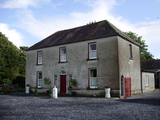 Carheen Househouse · 1605 yd
 Field system in CarheenField system · 1.0 mi
 Killogilleen Church (in ruins)Church · 1.1 mi
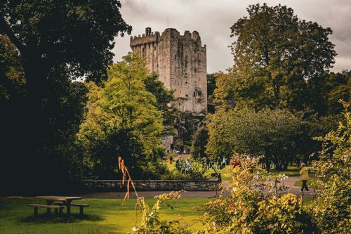 Bawn in CastleparkBawn · 1.3 mi
 Scalpeen RockNamed rock · 5.3 mi
 KnockapollboyMountain / peak · 5.6 mi
 HawthornHawthorn · 5.7 mi
 European ashEuropean ash · 5.7 mi
 Drumacoo Monastic SiteHeritage attraction · 8.1 mi
 MweenisharanIslet · 9.6 mi
Other information
Photo: Credit not shown in the picture search · Rights wording not checked; contact us if this picture should be removed