What is recorded here
Mortgage interest rates have risen again, increasing monthly payments for variable-rate borrowers and cooling housing demand in several regions.
In rough grazing land. When initially inspected in March 1983 this poorly preserved circular rath (diam. 17.4m) was defined by a grassed-over bank of earth and stone which was completely obscured by overgrowth. McCaffrey (1952, 228, no. 88) noted ‘a depression in the northeast quadrant of the interior’ but no visible surface trace of it survived. On a revisit in October 2001 the
monument had become completely overgrown with thorns and briars and was inaccessible.
Compiled by: Galway Archaeological Survey, UCG
Date of upload: 4 December 2017
The monument record does not grant public access. Check the route and ask the landowner before entering private land.
- What survives
- Recorded monument
Places near here
 Cregg Castle (in ruins)Castle, tower house · 497 yd
 CaveMan-made underground passage · 739 yd
 Man-made underground passageMan-made underground passage · 771 yd
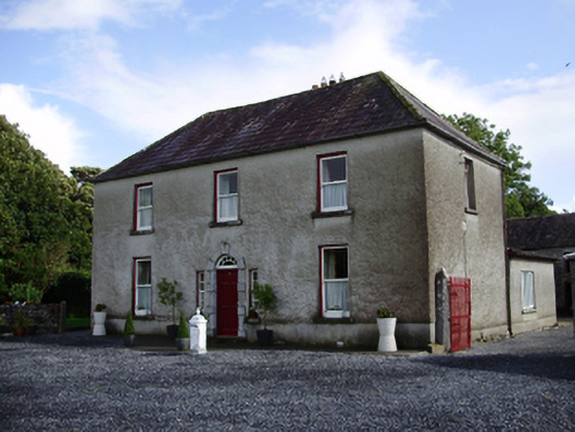 Carheen Househouse · 963 yd
 Killogilleen Church (in ruins)Church · 1183 yd
 Bawn in Deerpark (kilchreest Ed)Bawn · 1.4 mi
 Blake's IslandIslet · 4.9 mi
 Ash IslandIslet · 5.0 mi
 Scalpeen RockNamed rock · 5.4 mi
 HawthornHawthorn · 6.2 mi
 European ashEuropean ash · 6.2 mi
 Drumacoo Monastic SiteHeritage attraction · 8.4 mi